The Evolution of Predictive EV Routing
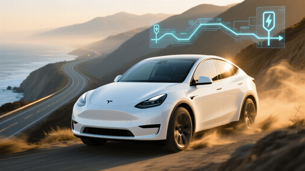
Planning a cross-country road trip in an internal combustion engine (ICE) vehicle is a trivial exercise. With a 400-mile range and a gas station on nearly every highway exit, routing algorithms simply optimize for the shortest time or distance. Electric vehicles (EVs), however, introduce a complex matrix of variables that transforms simple navigation into a multi-dimensional calculus problem. When you input a 3,000-mile journey from New York to Los Angeles into a sophisticated cross-country EV route planner, the software is not just looking at a map; it is simulating thermodynamics, aerodynamics, topography, and real-time electrical grid constraints.
For modern EV owners, understanding the technology behind applications like A Better Routeplanner (ABRP), Tesla's native navigation, and OEM-specific route planners is critical. Moving beyond basic "range anxiety," the modern challenge is "charging anxiety"—optimizing for station uptime, charging curves, and battery preconditioning. This deep dive explores the algorithmic engines that make cross-country EV travel possible, reliable, and efficient.
Algorithmic Pathfinding: Energy as the Primary Metric
Traditional mapping applications rely on Dijkstra's algorithm or the A* (A-star) search algorithm, using time or distance as the weight of the edges between nodes. EV route planners fundamentally alter this paradigm. In an EV routing algorithm, the primary edge weight is energy consumption (kWh), constrained by the battery's usable capacity and the charging speed at specific nodes (stations).
To calculate the energy required to traverse a specific highway segment, the algorithm must continuously solve a physics equation that accounts for rolling resistance, aerodynamic drag, and gravitational potential energy. According to the U.S. Department of Energy's FuelEconomy portal, while EVs are significantly more efficient at converting grid energy to wheel power than ICE vehicles, their highway range is highly sensitive to speed and elevation changes due to the cubic relationship between velocity and aerodynamic drag.
Topography and Digital Elevation Models (DEM)
A cross-country route planner integrates Digital Elevation Models (DEM) to predict energy regeneration and consumption. A 100-mile stretch of highway through the Rocky Mountains might consume 45 kWh climbing a 6% grade, but regenerate 15 kWh on the descent. Advanced algorithms map the exact topological profile of the route, adjusting the estimated State of Charge (SOC) upon arrival at the next charging node. If the algorithm detects a net-positive elevation gain over a 200-mile stretch with no fast chargers, it will dynamically reroute the vehicle to a longer, flatter topographical path to ensure the vehicle does not strand the driver.
Battery Thermodynamics and Thermal Management
Lithium-ion battery chemistry is highly temperature-dependent. Internal resistance increases in cold weather, reducing both the total available capacity and the maximum DC fast-charging (DCFC) acceptance rate. Premium routing engines pull live meteorological API data (such as OpenWeatherMap or TomTom) to adjust the battery's simulated thermal state. If the ambient temperature is 20°F, the algorithm will artificially reduce the vehicle's reference consumption model by 15-20% and derate the expected charging curve at the next Supercharger or Electrify America station, adding extra time to the trip estimate to account for slower electron flow.
Comparing the Leading Route Planning Engines
Not all routing algorithms are created equal. The market is currently divided between agnostic, third-party aggregators and closed-loop, proprietary OEM systems. Below is a technical comparison of the dominant platforms used for cross-country EV travel.
| Feature | A Better Routeplanner (ABRP) | Tesla In-Dash Navigation | EV_ROUTE (OEM Integrations) |
|---|---|---|---|
| Data Input Method | Manual / OBD2 Telemetry | Native Vehicle Telemetry | Native Vehicle Telemetry |
| Network Agnostic? | Yes (Global API Integration) | No (Tesla Superchargers Only) | Limited (Partner Networks) |
| Weather Integration | Live API (TomTom/OpenWeather) | Native Vehicle Sensors | Live API / Vehicle Sensors |
| Battery Degradation Model | User-Defined SOH % | Proprietary / Hidden | Proprietary / Hidden |
| Charging Curve Customization | Highly Customizable per Model | Locked to OEM Firmware | Locked to OEM Firmware |
The Role of API Integrations and Live Network Data
A routing algorithm is only as effective as its database of charging nodes. The Alternative Fuels Data Center (AFDC) notes that the U.S. EV charging infrastructure is expanding rapidly, but station uptime, broken connectors, and ICE-ing (internal combustion vehicles blocking EV spots) remain critical variables.
Third-party planners like ABRP utilize APIs from aggregators like OpenChargeMap and direct feeds from networks like EVgo and ChargePoint. When the algorithm plots a stop at a specific plaza, it cross-references live status APIs to verify if the 350 kW CCS dispensers are currently operational. If the API returns a fault code for the primary station, the algorithm instantly recalculates the route to a fallback node, adjusting the required highway speed to preserve enough kWh to reach the secondary location.
Actionable Advice for Optimizing Your Cross-Country Route
To extract the maximum efficiency and reliability from EV route planning technology, drivers must move beyond basic point-A-to-point-B inputs. Here is how to configure your technology stack for a flawless cross-country journey.
1. Implement Live OBD2 Telemetry
Relying on manual inputs for battery degradation and wind resistance introduces a margin of error that can leave you stranded in rural areas. Purchase a Bluetooth Low Energy (BLE) OBD2 dongle, such as the OBDLink CX or Vgate iCar Pro, and pair it with ABRP. This hardware creates a live telemetry loop, feeding the algorithm real-time data on exact battery temperature, cell voltage variance, and actual kWh consumption. The algorithm constantly compares your live consumption against its predictive model, dynamically adjusting your arrival SOC and charging times on the fly.
2. Configure Destination SOC Buffers and Fallbacks
Never set your target arrival SOC at a charging station to 0%. In your route planner settings, establish a "Destination SOC" buffer of at least 12%. Furthermore, utilize the "Fallback Charger" feature. This instructs the algorithm to identify a secondary charging plaza within 20 miles of your primary target. If you arrive at a remote Electrify America or EVgo station and find all stalls out of order, the app has already calculated the energy required to divert to the backup location, preventing panic and preserving battery health.
3. Factor in Economic Routing Variables
Modern route planners are beginning to integrate cost-optimization algorithms. Networks like EVgo and Electrify America utilize time-of-use (TOU) pricing or subscription tiers (e.g., Pass+). Advanced users can input their specific subscription status into the planner. The algorithm will then weigh the cost of electricity against the cost of time. In some scenarios, the software may route you 15 miles off the primary interstate to a slower, 50 kW destination charger that offers free or heavily discounted electricity, optimizing the cross-country trip for budget rather than pure speed.
Conclusion
The technology powering cross-country EV route planners represents a massive leap forward in automotive software, blending real-time physics simulations with live grid telemetry. By understanding how these algorithms process topography, thermodynamics, and network uptime, EV drivers can transition from passive passengers to active fleet managers. Mastering tools like OBD2 telemetry and dynamic SOC buffering ensures that the open road remains accessible, predictable, and efficient. For a comprehensive overview of how national charging networks are being deployed to support these advanced algorithms, refer to the Department of Energy's guide on EV charging infrastructure.


