Why Lidar Matters for Self-Driving Cars
Strip away the marketing gloss around autonomous vehicles, and the hardware question that separates real robotaxis from advanced driver-assist boils down to perception. Can the vehicle see everything around it — a child darting from behind a van, a black truck crossing an unlit intersection, construction cones in fog — with enough fidelity and speed to act without a human backup? For every commercially operating Level 4 robotaxi service in the U.S. as of 2026, the answer involves lidar for self-driving cars as a core sensor, not an optional add-on.
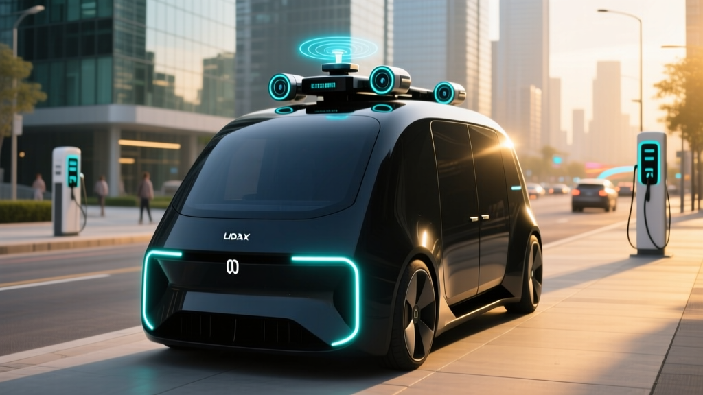
Lidar (light detection and ranging) fires millions of laser pulses per second and measures the time it takes for each to bounce back, building a centimeter-accurate 3D point cloud of the surrounding environment. Unlike cameras, lidar does not depend on ambient light. Unlike radar, it resolves fine shapes — a cyclist's silhouette, a pothole edge, a partially opened car door. Modern automotive-grade units from Hesai, Luminar, and Waymo's in-house Laser Bear Honeycomb spin at 10-20 Hz and deliver 200+ meter range with sub-2° angular resolution.
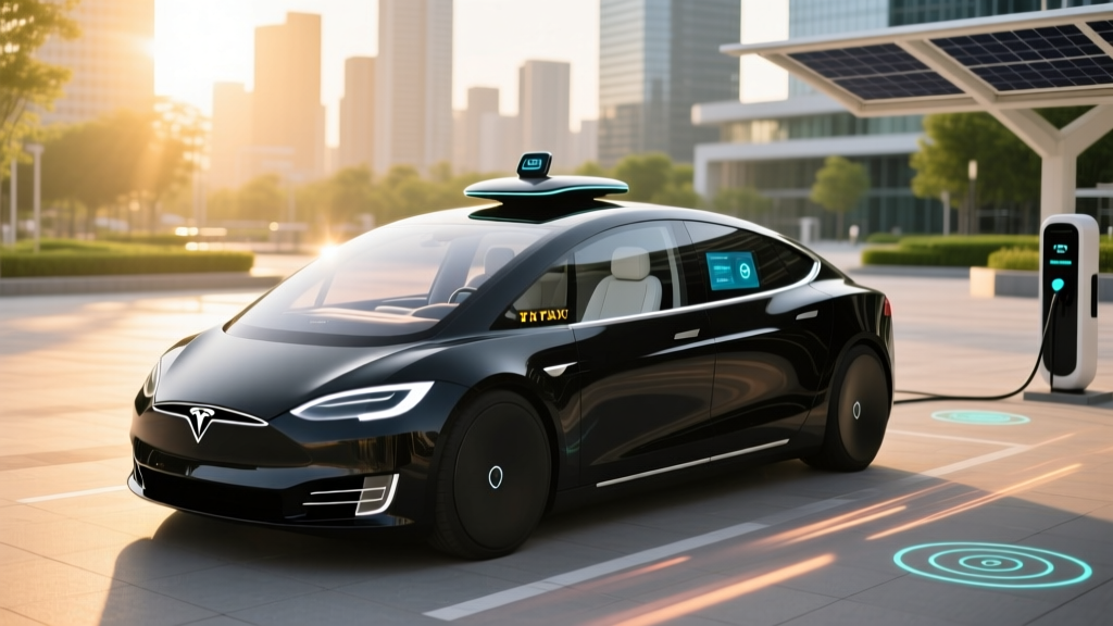
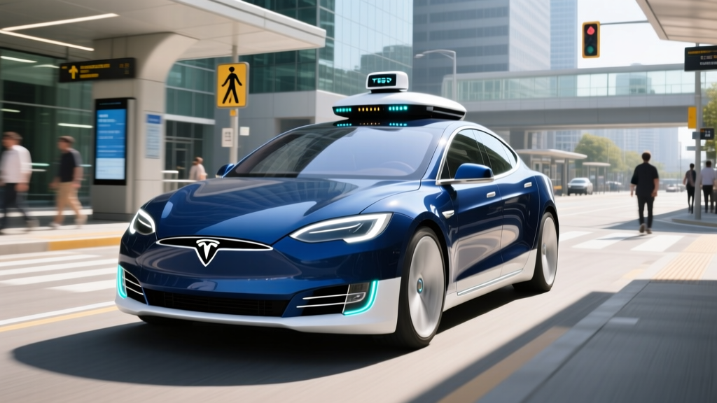
- Level 2 (Driver-Assist): Tesla Autopilot/FSD Supervised, GM Super Cruise, Ford BlueCruise. The human driver is legally responsible and must remain engaged. Not self-driving.
- Level 3 (Conditional Automation): Mercedes DRIVE PILOT (limited U.S. availability, 2024-2025). System drives under narrow conditions; driver must take over on request.
- Level 4 (High Automation): Waymo One, Zoox, Cruise (post-relaunch). No driver in the vehicle within a defined Operational Design Domain (geofenced area, weather limits). This is what "robotaxi" means.
- Level 5 (Full Automation): Does not exist commercially. No production system handles every road, weather, and scenario without limits.
This article focuses on Level 4 robotaxis — the services you can hail today with no human behind the wheel — and the lidar-centric sensor stacks that make them possible.
Robotaxi Services You Can Actually Use Right Now
Despite years of "coming soon" announcements, commercially open, fully driverless robotaxi service in the U.S. remains concentrated in a handful of cities where regulators have approved paid operations. As of early 2026:
| Service | Operator | Open Cities (Driverless) | Hours | Status |
|---|---|---|---|---|
| Waymo One | Waymo (Alphabet) | Phoenix, San Francisco, Los Angeles, Austin (2025 expansion) | 24/7 in core zones | Open to public, app-based |
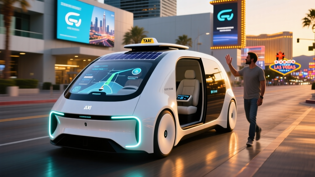
| Zoox | Zoox (Amazon) | Las Vegas (limited public), Foster City CA (employee/test) | Limited hours | Early public access |
| Cruise (relaunched) | GM Cruise | Phoenix (supervised re-entry, driverless TBD) | Daytime only | Phased re-entry post-2023 incident |
Every city on this list required state-level approval (California Public Utilities Commission and DMV permits, Arizona executive orders, Nevada autonomous vehicle testing permits) and geofencing — the service will only accept rides within a pre-mapped polygon. Request a trip outside the boundary and the app simply won't let you.
How to Hail a Robotaxi — and What It Costs vs. Uber/Lyft
The rider experience is deliberately mundane. Download the Waymo One app (or Zoox app where active), enter pickup and drop-off within the service area, confirm, and a vehicle pulls up. No driver to tip, no small talk, climate and music controlled from your phone. The vehicle handles doors, routing, and curb stops autonomously.
| Metric | Waymo One | UberX (SF avg.) | Lyft (SF avg.) |
|---|---|---|---|
| Base fare (3-mile trip) | $12–$18 | $14–$22 | $13–$21 |
| Per-mile rate | ~$1.50–$2.10 | ~$1.80–$2.60 | ~$1.70–$2.50 |
| Surge pricing | Rare (fleet-limited) | Common | Common |
| Tip expected | No | 15–20% | 15–20% |
| Wait time (avg.) | 4–8 min | 3–7 min | 3–7 min |
On a per-ride basis, Waymo One prices at or slightly below Uber/Lyft in the same market — subsidized in part by Alphabet's long-term capital strategy. Zoox has not published per-ride pricing for its early Las Vegas service, operating largely as a free pilot for invited riders. Expect robotaxi fares to remain competitive with rideshare through at least 2028 as operators prioritize market share over unit economics.
The Technology Stack: Lidar vs. Camera-Only and Why Robotaxis Chose Lidar
- Lidar: 4+ roof-mounted units, 360° coverage, 200–500m range, 10–20 Hz scan rate, generating ~3–5 million points/sec
- Cameras: 8–12 high-resolution units (short, mid, long focal lengths), 30–60 fps, for color, text/sign recognition, traffic-light state
- Radar: 4–6 imaging radars for velocity measurement of moving objects and all-weather fallback
- Audio: External microphone arrays to detect sirens before they're visible
- IMU + GNSS + HD maps: Centimeter-level localization against a pre-built map
The lidar-versus-cameras debate has been the defining hardware argument of the autonomous-vehicle industry for a decade. Tesla's FSD Supervised remains camera-only, betting that neural networks can extract sufficient depth and semantics from 2D images. Every operating Level 4 robotaxi has rejected that bet.
The physics argument is straightforward. Lidar measures distance directly via time-of-flight — not by inferring it from stereo disparity or learned priors. A black truck perpendicular to your path at dusk is nearly invisible to a camera trained on contrast and color; to lidar, it's a wall of return points. A pedestrian in a dark coat stepping off a curb at night generates reliable lidar returns at 80+ meters; a camera system may not resolve them until 30 meters, at which point a vehicle traveling 35 mph has under two seconds to react.
Modern lidar units have dropped in cost from the $75,000 Velodyne HDL-64E of 2016 to roughly $500–$2,000 per unit in 2026 for high-volume automotive-grade sensors (Hesai AT512, Luminar 1550 nm units). Waymo manufactures its own 6th-gen lidar in-house, which the company has stated reduces per-vehicle sensor cost by more than 50% versus its 5th-gen hardware. This cost reduction is what makes scaling a fleet of ~1,000+ Waymo vehicles economically plausible, even if per-car hardware still runs $50,000–$100,000 total.
Cameras and radar remain essential complements — cameras read traffic-light color and sign text (which lidar cannot do), radar tracks object velocity with high precision — but lidar provides the geometric backbone of the perception stack. Removing it would require camera systems to match lidar's direct depth measurement in every lighting condition, which no shipping system has demonstrated at Level 4 reliability.
Safety Data: What the Numbers Actually Show
- 30+ million fully driverless miles completed across Phoenix, SF, LA
- ~85% reduction in injury-causing crash rate vs. human baseline (per NHTSA-referenced Waymo/insurance studies, 2024)
- ~90% reduction in police-reported crash involvement per million miles vs. human drivers in comparable geographies
- Contact incidents (vehicle-to-object): publicly logged on Waymo's transparency dashboard; majority are low-speed (<5 mph) in parking/curb scenarios
The honest framing: robotaxis are demonstrably safer than average human drivers in their approved operating domains — which are geofenced, well-mapped urban/suburban corridors — but the sample is still small relative to the trillions of miles humans drive annually. Waymo's 30+ million driverless miles is statistically meaningful for severe-crash rates but not for rare edge cases (tornadoes, active-shooter evacuations, unmapped construction zones).
The Cruise incident of October 2023 in San Francisco — where a pedestrian thrown into the path of a Cruise vehicle was then dragged to the curb — remains the cautionary case study. The vehicle's initial lidar- and camera-based perception detected the pedestrian; the failure was in the post-impact motion-planning logic, which did not recognize the need to stop immediately. Cruise suspended operations nationally, restructured leadership, and re-entered Phoenix in 2025 with a human safety operator before pursuing driverless re-approval. The incident underscored that perception (where lidar excels) is necessary but not sufficient — planning and validation are equally safety-critical.
The NHTSA Standing General Order requires all Level 2+ and Level 4 operators to report crashes within 24 hours, which has produced the most comprehensive public incident dataset to date. IIHS has begun evaluating robotaxi safety records but has not yet issued formal crashworthiness ratings specific to autonomous operation.
Regulatory Landscape: Who Approves Robotaxi Operations
There is no single federal "robotaxi license" in the United States. Regulation is layered:
- Federal (NHTSA): Sets vehicle safety standards (FMVSS), issues exemptions for vehicles without steering wheels (Zoox obtained a custom exemption for its purpose-built vehicle), and collects crash data via Standing General Order.
- State DMV/PSA: California's DMV issues testing permits and the CPUC issues commercial deployment permits. Arizona has permissive executive-order-based regulation. Nevada, Texas, and Michigan have their own frameworks.
- Local/Municipal: Cities control curb access, geofence boundaries, and often negotiate operating agreements — SF's Board of Supervisors held contentious hearings before approving Waymo and Cruise expansion in 2023.
The patchwork means an operator approved in Phoenix cannot simply turn on service in Miami; each new city requires regulatory engagement, map building, and local first-responder coordination (how does a fire department interact with a driverless vehicle at an accident scene?). This is why expansion has been slow and deliberate rather than the "launch everywhere in 2020" timelines predicted in the late 2010s.
Current Limitations: What Robotaxis Cannot Do in 2026
- Heavy precipitation: Dense rain, snow, and fog scatter lidar pulses and occlude cameras. Waymo operates in light rain but suspends service in monsoon conditions; no robotaxi operates in snow-belt cities today.
- Geofence boundaries: The vehicle will not drive outside its pre-mapped zone — often excluding highways, tunnels, and rural roads.
- Construction zones: Major unmapped detours may trigger a remote-assist pause or a safe-stop; the vehicle does not improvise new routes through cones the way a human does.
- Unprotected left turns (high-speed): Some geofenced areas restrict complex unprotected turns during peak traffic.
- Emergency-vehicle interaction: Improved significantly since 2022 but still an edge case — sirens at oblique angles or in dense urban canyons can delay detection by 1–3 seconds.
- Accessibility: Wheelchair-accessible robotaxis remain extremely limited; most current fleets use standard sedans/SUVs without ramps.
- Passenger behavior: Unruly or incapacitated passengers have no human driver to intervene — vehicles can pull over and contact support, but in-motion issues are a gap.
These limitations are not theoretical — they define why robotaxis are a Phoenix-and-San-Franco story in 2026, not a Minneapolis-and-Houston story. Snow, ice, and unmapped suburban sprawl remain unsolved at Level 4 scale.
Is Lidar the Permanent Answer, or Will Cameras Catch Up?
The industry consensus as of 2026 is that lidar will remain part of the Level 4 stack for the foreseeable future. Tesla's camera-only FSD Supervised has improved markedly — particularly in urban environments — but remains a Level 2 system requiring driver attention, and Tesla has not submitted FSD for Level 4 regulatory approval in any jurisdiction. Comma.ai's openpilot-based approach, also camera-centric, explicitly targets Level 2 with driver engagement.
For true Level 4 operation with no human in the loop, the redundancy argument carries decisive weight: if one sensor modality fails (camera blinded by sun glare, radar confused by metallic debris), a second independent modality must still perceive the hazard. Lidar provides that independence from camera failure modes. The cost curve has also cooperated — sub-$1,000 high-resolution lidars are now shipping — eliminating the primary argument against inclusion.
Solid-state lidar (no moving parts, smaller form factor, potentially $200–$400 per unit at volume) is expected to further entrench the technology through 2028–2030, appearing not just on robotaxis but on Level 2+ consumer vehicles from Volvo, Mercedes, and Polestar as part of advanced safety packages.
Frequently Asked Questions
Is Tesla FSD a robotaxi? Can I hail a driverless Tesla today?
No. Tesla's FSD (Supervised) is a Level 2 driver-assist system. A human must remain attentive and legally responsible at all times. Tesla has announced plans for a driverless robotaxi service, but as of early 2026 it has no approved Level 4 operations in any U.S. jurisdiction. The IRS, NHTSA, and state regulators distinguish sharply between Level 2 assist and Level 4 driverless operation.
Why doesn't Waymo just use cameras like Tesla?
Because Level 4 operation — no human to fall back on — demands sensor redundancy. Cameras fail in specific, predictable ways (blinding glare, total darkness without streetlights, fog) that lidar does not share. Waymo's safety case to regulators rests in part on multi-modal perception, and removing lidar would require re-certification.
How much does a robotaxi lidar unit cost in 2026?
Automotive-grade high-resolution lidars used in robotaxis range from approximately $500 to $2,500 per unit at fleet volume, down from $75,000+ for early mechanical units. Waymo's in-house 6th-gen unit is not sold externally but is estimated to cost under $1,000 at scale.
Can I use a robotaxi in the rain?
In light rain, yes — Waymo operates in Phoenix and SF drizzle without issue. In heavy downpours, monsoon conditions, or snow, service is suspended. Lidar pulses scatter in dense precipitation, and camera visibility drops below safe thresholds.
Are robotaxis safer than human drivers?
Within their approved operating domains (geofenced, mapped urban areas, fair weather), the available data from Waymo's 30+ million driverless miles shows a significantly lower injury-crash rate than the human baseline in comparable geographies — roughly 85% fewer injury-causing crashes per million miles. But the sample size is still small relative to national driving, and the operational domain is narrow.
When will robotaxis be available in my city?
Realistically, expansion is measured in years, not months. Waymo has signaled plans for additional Sun Belt and West Coast cities through 2027, but each requires regulatory approval, HD mapping, and fleet deployment. Snow-belt cities are unlikely before 2029 at the earliest due to weather limitations.
Sources: NHTSA Automated Vehicles Safety, Waymo Safety Reports, IIHS Automated Vehicles.