The Evolution of EV Route Planning Technology
Planning a cross-country road trip in an internal combustion engine (ICE) vehicle is a trivial exercise. Gas stations are ubiquitous, refueling takes five minutes, and range anxiety is virtually non-existent. However, routing an electric vehicle (EV) across thousands of miles requires a fundamentally different computational approach. Modern cross-country EV route planners do not merely calculate the shortest distance between two points; they solve complex, multi-variable physics equations in real-time. They must account for battery thermodynamics, topographical elevation changes, real-time meteorological data, and the operational status of high-voltage direct current (DC) fast-charging networks.
In this technology deep dive, we explore the underlying algorithms, API integrations, and battery degradation models that power leading cross-country EV route planners like A Better Routeplanner (ABRP), Tesla’s native Trip Planner, and third-party telematics platforms. Understanding these computational models is essential for EV owners who want to optimize their travel time, preserve battery health, and avoid being stranded in rural charging deserts.
The Core Algorithm: State of Charge (SoC) and Battery Models
At the heart of any sophisticated EV routing engine is a mathematical model of the vehicle’s specific battery pack. Unlike a gas tank, which delivers energy linearly, a lithium-ion battery pack’s energy delivery is governed by complex electrochemistry. Route planners utilize advanced State of Charge (SoC) estimation algorithms, often relying on Extended Kalman Filters (EKF) or Coulomb counting, to predict exactly how much usable energy remains at any given mile marker.
When you input your vehicle model into a planner like ABRP, the software loads a specific reference consumption model (measured in Wh/mi or Wh/km). This model is not a static number; it is a dynamic curve that factors in internal resistance and Peukert’s Law, which describes how a battery’s effective capacity decreases as the rate of discharge increases. If you are driving up a steep mountain pass at 75 mph, the high current draw causes voltage sag and increased thermal losses, effectively shrinking your usable battery capacity. The routing algorithm calculates this voltage sag to ensure you do not arrive at a charger with a mathematically impossible negative SoC.
Environmental Variables: Elevation, Temperature, and Aerodynamics
According to the U.S. Department of Energy’s Alternative Fuels Data Center, environmental factors drastically alter an EV's real-world range. Route planners integrate digital elevation models (DEMs) and live meteorological APIs to adjust consumption predictions on the fly.
- Elevation Profiles: Routing engines pull topographical data to calculate the potential energy required to climb inclines. Crucially, they also calculate regenerative braking efficiency on descents. A planner will route you over a mountain pass knowing that while the ascent may consume 500 Wh/mi, the descent will regenerate energy at 85% efficiency, recovering a significant portion of the lost kilowatt-hours.
- Thermodynamics and HVAC Load: Lithium-ion cells experience increased internal resistance in cold weather, reducing available capacity. Furthermore, cabin heating via PTC heaters or heat pumps draws significant auxiliary power. Advanced planners pull NOAA weather APIs to forecast headwinds, tailwinds, and ambient temperatures along your specific route corridor, adjusting the auxiliary power load in the algorithm accordingly.
- Aerodynamic Drag: Air resistance increases with the square of velocity. The algorithm calculates the exact energy penalty of driving 75 mph versus 65 mph into a 15 mph headwind, allowing the software to suggest optimal speed limits to make the next charging waypoint.
The Data Backbone: Open Charge Map and Live APIs
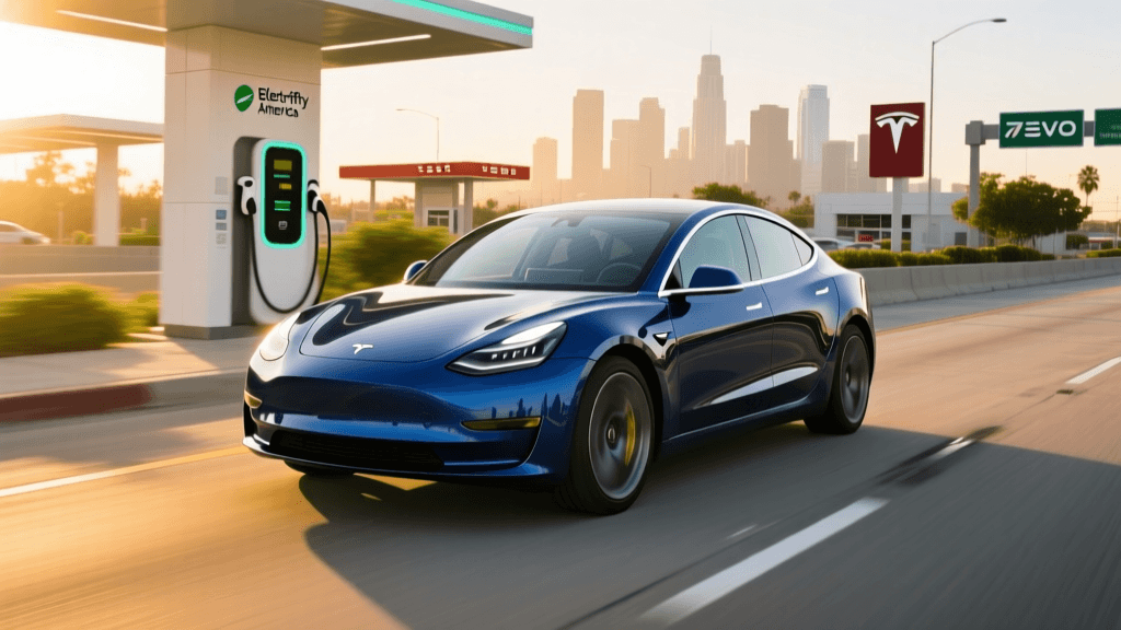
An algorithm is only as good as the data it consumes. To route you to a functional charger, planning apps rely on massive, crowdsourced, and API-driven registries. The most critical of these is the Open Charge Map (OCM), the global public registry of EV charging equipment. OCM provides an open API that feeds routing engines with granular data: connector types (CCS, NACS, CHAdeMO), maximum power output (kW), network operators, and user-reported reliability scores.
When a cross-country route planner builds a graph for pathfinding (using modified Dijkstra or A* search algorithms), each charging node is weighted not just by its geographic distance, but by its reliability score and charge curve. A 350kW Electrify America station with a history of handshake failures will be algorithmically penalized compared to a highly reliable 150kW Tesla Supercharger, even if the latter requires a slight detour. Furthermore, planners integrate with network APIs (like EVgo or ChargePoint) to check real-time stall availability, ensuring you aren’t routed to a station where all stalls are currently occupied or out of service.
Comparison Chart: Leading EV Route Planning Platforms
Different platforms prioritize different variables in their routing logic. Below is a technical comparison of the primary cross-country EV routing tools available to consumers today.
| Platform | Telemetry Integration | Weather & Wind API | Battery Degradation Modeling | Live Charger Status API |
|---|---|---|---|---|
| A Better Routeplanner (ABRP) | Native (via OBD-II dongles & OTA APIs) | Yes (Dark Sky / NOAA integration) | Highly customizable manual inputs | Yes (OCM, TomTom, Network APIs) |
| Tesla Native Trip Planner | Deep Native (BMS direct access) | Yes (Proprietary fleet data) | Automatic (based on fleet averages) | Yes (Supercharger network only) |
| Rivian Adventure Planner | Native (Vehicle BMS) | Yes (Elevation & Weather focused) | Automatic | Yes (RAN + OCM integration) |
| PlugShare / EVgo Apps | Limited (Manual SoC input) | No (Static range estimates) | None | Yes (Network specific) |
Telemetry and OBD-II: Closing the Data Loop
The most significant technological leap in cross-country EV routing is the integration of live vehicle telemetry. Historically, drivers had to manually input their current SoC and battery degradation percentage into apps like ABRP. Today, through the use of Bluetooth OBD-II dongles or native API integrations (such as those provided by Hyundai, Kia, and Ford), route planners can read the Battery Management System (BMS) directly.
This live data loop allows the algorithm to monitor individual cell voltages, pack temperature, and actual energy consumption in real-time. If the algorithm predicted a consumption rate of 300 Wh/mi, but live telemetry shows you are consuming 340 Wh/mi due to an unexpected headwind or degraded tire pressure, the routing engine dynamically recalculates the entire trip. It will automatically adjust your arrival SoC at the next waypoint and, if necessary, reroute you to an intermediate DC fast charger to prevent you from falling below your safety buffer.
Practical Calibration: Tuning Your Planner for Cross-Country Accuracy
To get the most accurate cross-country routing from third-party apps, EV owners must properly calibrate the software to their specific vehicle’s physical state. Follow these actionable steps before embarking on a multi-state road trip:
- Establish a Reference Consumption: Do not rely on the EPA estimate. Drive your fully loaded vehicle (with luggage, passengers, and rooftop cargo boxes) on a highway at your intended cruising speed for 50 miles. Calculate your actual Wh/mi and input this as your “Reference Consumption” in the planner.
- Adjust Battery Degradation: If your EV is three years old, your total pack capacity is likely 85% to 90% of its original size. Check your vehicle’s native battery health screen and adjust the “Battery Degradation” slider in the routing app. Failing to do this will result in the app assuming you have 10-15% more range than you actually possess.
- Set Realistic Arrival Buffers: For rural cross-country routes where chargers are spaced 100+ miles apart, set your minimum arrival SoC buffer to 15% or 20%. According to the U.S. Department of Energy’s EV infrastructure data, rural charging nodes are more susceptible to grid outages and hardware maintenance issues. A robust buffer ensures you can divert to a backup Level 2 destination charger if the primary DC fast charger is offline.
- Account for Towing and Cargo: If you are towing a teardrop trailer or using a heavy cargo carrier, increase the reference consumption by 40% to 60%, and increase the aerodynamic drag coefficient in the app’s advanced settings.
Future Tech: Predictive Grid Load and V2G Routing
The next frontier in EV routing technology involves predictive grid load balancing. As cross-country EV adoption scales, simultaneous fast-charging demands at rural corridors can trigger local grid constraints, leading to throttled charging speeds or rolling blackouts. Future routing algorithms are being designed to communicate with utility grid APIs, predicting congestion at specific charging nodes hours in advance. By integrating Vehicle-to-Grid (V2G) capabilities, future planners will not only route you to the fastest charger but will dynamically price your route based on real-time wholesale electricity markets, offering you financial incentives to pause your trip and discharge your battery back to the grid during peak demand windows before continuing your journey.
Ultimately, mastering the technology behind cross-country EV route planners transforms a stressful logistical challenge into a highly optimized, data-driven adventure. By understanding the physics and APIs working behind the screen, drivers can ensure a seamless, efficient, and electrifying journey across the country.