The Reality Behind a Self-Driving Uber in Phoenix
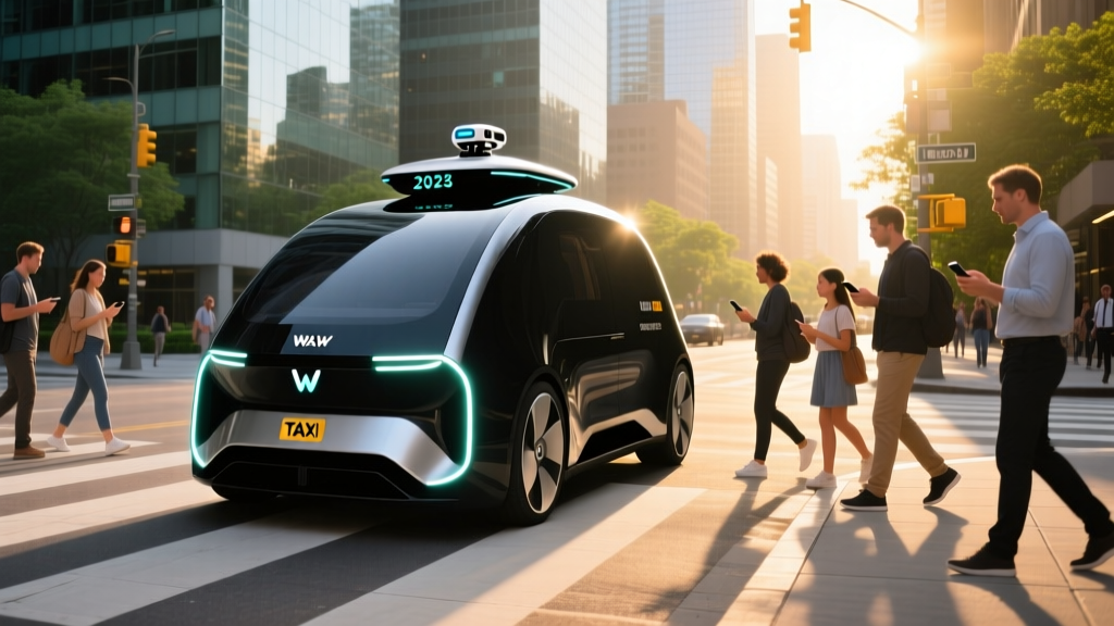
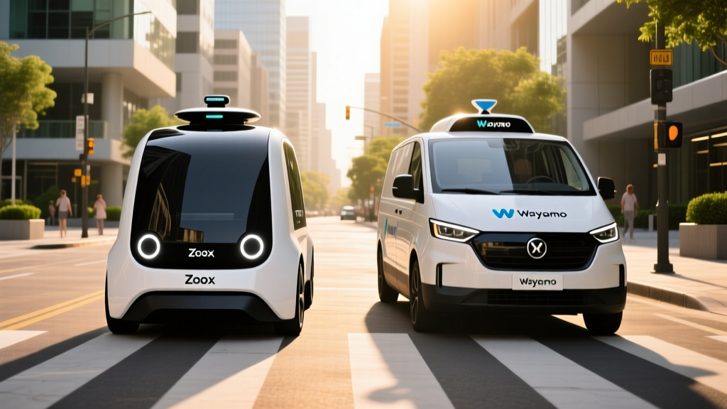
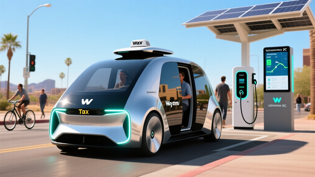
If you've searched for a "self-driving Uber" in Phoenix, you're not alone — and you're not wrong to look. Phoenix remains the most mature robotaxi market on Earth. But the car that pulls up to your curb without a driver isn't an Uber vehicle running autonomous software. It's a Waymo One Jaguar I-PACE, and understanding the difference matters before you tap "request ride."
As of early 2026, Uber itself does not operate a driverless fleet anywhere in the United States. Uber sold its Advanced Technologies Group (ATG) to Aurora Innovation in late 2020 and has since positioned itself as an aggregator and mobility platform rather than a robotics company. What Phoenix riders actually experience is Waymo's commercial robotaxi service, available both through the standalone Waymo One app and, in select markets, via Uber's app as a booking channel.
This guide breaks down exactly what's available in Phoenix right now: where the geofence reaches, what the ride costs versus a conventional UberX, how the safety record stacks up with real numbers, and what the technology can and cannot do today.
Where Can I Use This Robotaxi Service Right Now?
Waymo One's Phoenix service area covers more than 225 square miles as of 2026, making it the largest fully driverless commercial zone operated by any company globally. The coverage spans much of the East Valley and extends into central Phoenix neighborhoods.
| Area | Status | Notes |
|---|---|---|
| Chandler | Fully operational | Original launch zone, 24/7 service |
| Tempe | Fully operational | ASU corridor, high ride density |
| Mesa | Fully operational | Expanded east to Gilbert border |
| Scottsdale | Fully operational | Old Town, Airpark, north to Kierland |
| Downtown Phoenix | Fully operational | Central core, Sky Harbor airport rides available |
| Gilbert | Partial coverage | Northern sections within geofence |
| Glendale / Peoria | Not available | Outside current geofence boundary |
| West Valley (Surprise, Goodyear) | Not available | No announced expansion timeline |
The geofence is not a perfect circle. Waymo maps and validates every road within its operational design domain (ODD) before allowing driverless trips. If your pickup or dropoff falls outside the boundary, the app will suggest the nearest valid location — typically within a few blocks of the edge.
Sky Harbor Airport (PHX) rides became available in late 2024 and remain active in 2026, with designated pickup zones at Terminals 3 and 4. This was a significant milestone: airport trips represent high-value, predictable routes that test a robotaxi's ability to handle structured but busy environments.
How to Hail a Driverless Ride and What It Costs
Booking a Waymo robotaxi in Phoenix works through two channels:
- Waymo One app — Download, create an account, enter pickup and dropoff within the service area, and request. The app shows the vehicle's approach in real time.
- Uber app (Waymo integration) — In supported Phoenix zones, Uber's app may surface a "Waymo" ride option alongside UberX, Comfort, and other tiers. Selecting it dispatches a Waymo I-PACE. Availability of this integration varies and is subject to Uber-Waymo partnership terms.
Once the vehicle arrives, you confirm your ride by tapping a "Start Ride" button on the rear-seat screen or by entering a PIN in the app. The car will not move until you buckle up.
| Route | Distance | Waymo One | UberX | Difference |
|---|---|---|---|---|
| Chandler Fashion Center → Tempe Marketplace | ~6 mi | $12–$16 | $11–$15 | Comparable |
| Scottsdale Old Town → PHX Airport | ~10 mi | $22–$28 | $20–$27 | Comparable |
| Downtown Phoenix → Mesa Riverview | ~18 mi | $32–$40 | $30–$38 | Slight premium |
| Tempe (ASU) → Chandler (short hop) | ~3 mi | $8–$11 | $8–$10 | Comparable |
Waymo's pricing is broadly competitive with UberX in Phoenix — not cheaper, but not significantly more expensive either. Surge pricing dynamics differ: Waymo does not use Uber's surge multiplier model. Instead, during peak demand, wait times increase rather than prices spiking dramatically. Tipping is not expected (there is no driver), though the app does offer a tipping option that routes to Waymo's cleaning and support staff.
Is This Truly Self-Driving or Driver-Assist?
This is the most critical distinction in the autonomous vehicle space, and Phoenix riders benefit from understanding it clearly.
SAE Automation Levels — What Matters Here
| Level | Name | Who Drives? | Example |
|---|---|---|---|
| Level 0 | No Automation | Human | Conventional car |
| Level 1 | Driver Assistance | Human (one feature assisted) | Adaptive cruise control |
| Level 2 | Partial Automation | Human (must supervise) | Tesla Autopilot, GM Super Cruise, Ford BlueCruise |
| Level 3 | Conditional Automation | System (human must take over on request) | Mercedes Drive Pilot (limited conditions) |
| Level 4 | High Automation | System (no human needed within ODD) | Waymo One in Phoenix |
| Level 5 | Full Automation | System (everywhere, all conditions) | Does not exist commercially |
Waymo One in Phoenix operates at SAE Level 4. There is no human driver in the vehicle. No one sits behind the wheel ready to grab it. The system handles all driving tasks within its defined operational design domain — the mapped Phoenix service area, under approved weather and road conditions.
This is fundamentally different from Tesla's Full Self-Driving (Supervised), GM's Super Cruise, or Ford's BlueCruise, all of which are Level 2 systems that require the driver to remain attentive and ready to take control at any moment. When you read headlines about "self-driving cars" crashing, always check whether the system was Level 2 (driver responsible) or Level 4 (system responsible). The distinction changes the entire safety and liability analysis.
Level 5 — a vehicle that can drive itself anywhere a human could, in any weather, on any road, without any geofencing — does not exist in commercial service anywhere in the world as of 2026. Anyone claiming otherwise is either misleading or using a non-standard definition.
The Technology Stack: Lidar, Cameras, and HD Maps
Waymo's sixth-generation "Waymo Driver" hardware suite, deployed across the Phoenix I-PACE fleet, takes a sensor-fusion approach that differs sharply from Tesla's camera-only philosophy.
Waymo 6th-Gen Sensor Suite
- Lidar: Multiple custom-built lidar units providing 360° high-resolution 3D point clouds, effective at 500+ meters. Lidar measures distance using laser pulses and works independently of ambient light — critical for night driving and detecting objects that cameras might miss.
- Cameras: A surround array of high-dynamic-range cameras covering 360° at multiple focal lengths, handling lane markings, traffic light states, signage, and object classification.
- Radar: Imaging radar units for velocity detection of moving objects, performing reliably in rain and fog where lidar and cameras degrade.
- External audio receivers: Microphones that detect sirens from emergency vehicles, allowing the system to pull over appropriately.
- HD Maps: Centimeter-precision pre-mapped data for every road in the service area. The vehicle localizes itself within this map in real time, cross-referencing sensor data against known infrastructure.
The computational platform processes sensor data through Waymo's proprietary perception, prediction, and planning stack. The "prediction" layer models the likely behavior of every detected agent — pedestrians, cyclists, other vehicles — several seconds into the future, and the "planning" layer generates a safe trajectory accordingly.
This approach has trade-offs. The sensor suite is expensive (estimated at $100,000+ per vehicle in hardware alone, though costs have declined with each generation). The reliance on HD maps means Waymo cannot simply deploy in a new city overnight — every road must be mapped, validated, and tested before commercial service begins. But within that mapped domain, the redundancy of lidar + cameras + radar provides a safety margin that single-modality systems cannot match.
Safety Record: What the Real Data Shows
Safety is where robotaxi claims require the most scrutiny. Waymo has published more operational data than any other Level 4 operator, though independent third-party audits remain limited.
Waymo Phoenix Safety Data (Cumulative Through 2025)
- Total driverless miles in Phoenix metro: Estimated 10+ million miles (Waymo has surpassed 30 million driverless miles across all cities combined, with Phoenix representing the largest share).
- Contact rate vs. human benchmark: Waymo's published research (2024) found a 57% reduction in police-reported crash rates and an 85% reduction in injury-causing crash rates compared to human drivers in comparable urban environments, based on analysis of over 7 million driverless miles across Phoenix and San Francisco.
- Most common incident types: Low-speed contact with stationary objects (parked cars, bollards) and minor sideswipe scenarios. No fatalities attributed to Waymo driverless operations in Phoenix as of early 2026.
- Emergency response interactions: Waymo vehicles are programmed to detect and yield to emergency vehicles. In 2024, an incident in San Francisco where a Waymo vehicle struck a pedestrian who had been thrown into its path by a human-driven truck drew significant scrutiny. NHTSA investigated, and Waymo issued software updates to improve prediction of pedestrians in high-risk scenarios near crosswalks.
Context matters. Phoenix's wide roads, predictable grid layout, and minimal snow make it one of the most favorable environments for autonomous driving in the United States. Waymo's safety record in Phoenix may not transfer directly to cities with denser traffic, narrower streets, or harsher weather. The company's expansion to Los Angeles and Austin is testing the system in more complex environments, and those results will be important to monitor.
Arizona's regulatory framework has been permissive since Governor Doug Ducey's 2015 executive order, which allowed autonomous vehicle testing without special permits. The Arizona Department of Transportation oversees AV operations, and there is no state requirement for a safety driver in Level 4 vehicles — a key reason Waymo chose Chandler as its first commercial launch city.
Current Limitations: Where the Robotaxi Cannot Go
Despite impressive capabilities, Waymo's Phoenix service has real constraints that riders should understand before relying on it exclusively.
Known Operational Limits
- Heavy rain and monsoon storms: Phoenix's summer monsoon season (July–September) can produce intense downpours. When rainfall exceeds sensor reliability thresholds, Waymo may suspend service in affected zones or increase wait times significantly. The vehicles will pull over safely if conditions deteriorate mid-trip.
- Dust storms (haboobs): Large dust events reduce lidar and camera effectiveness. Service is typically paused during active haboob conditions.
- Geofence boundaries: If your destination falls outside the 225+ square-mile service area, the app will not allow the booking. There is no "override" option.
- Construction zones: Major road construction with shifted lanes or temporary barriers can confuse the system. Waymo's mapping team updates routes regularly, but sudden overnight construction changes may cause the vehicle to reroute or, in rare cases, request remote assistance.
- Unpaved roads: The service operates exclusively on paved, mapped roads. Dirt roads, parking garages above certain complexity levels, and private driveways are not supported.
- Pets and unusual cargo: Service animals are permitted. Pets in carriers are generally accepted, but large uncontained animals are not. The vehicle interior is monitored by cabin cameras.
- Remote assistance delays: When the vehicle encounters a scenario it cannot resolve autonomously (e.g., a police officer directing traffic with hand signals), it contacts a remote operations team. This can add 1–5 minutes to your trip while the remote operator guides the vehicle through the situation.
- No highway service (limited): Waymo's Phoenix service primarily covers surface streets and arterials. Some freeway segments within the geofence are supported, but long highway trips are not the system's primary use case.
These limitations reflect the reality of Level 4 autonomy: the system is excellent within its designed parameters but cannot improvise the way a human driver can when faced with novel situations. This is not a failure — it's an honest engineering boundary.
Regulatory Landscape: Who Approves Robotaxi Operations?
Robotaxi regulation in the United States operates on a patchwork of federal, state, and local authority, and Phoenix sits in one of the most permissive jurisdictions.
Federal level: The National Highway Traffic Safety Administration (NHTSA) sets vehicle safety standards but has not issued specific federal regulations for Level 4 commercial robotaxi operations. NHTSA's Standing General Order requires AV operators to report crashes involving automated systems, providing a baseline of transparency. The NHTSA AV safety page tracks these reports.
State level (Arizona): Arizona does not require a special permit for Level 4 AV deployment. Companies must register vehicles, maintain insurance, and comply with standard traffic law. The state's hands-off approach contrasts sharply with California, where the Department of Motor Vehicles (DMV) and the California Public Utilities Commission (CPUC) both regulate robotaxi operations, requiring permits, disengagement reports, and deployment phase approvals.
Local level: Phoenix-area municipalities (Chandler, Tempe, Mesa, Scottsdale) coordinate with Waymo on pickup/dropoff zones, particularly at airports and transit hubs. Local law enforcement is trained on how to interact with driverless vehicles during traffic stops or incidents.
This regulatory environment is a major reason Phoenix leads the nation in robotaxi maturity. Whether other states adopt similarly permissive frameworks — or follow California's more cautious, permit-heavy approach — will shape how quickly services like Waymo expand nationally.
Frequently Asked Questions
Can I request a self-driving Uber directly in Phoenix?
Not exactly. Uber does not operate its own driverless fleet. However, Uber's app may surface Waymo as a ride option in Phoenix, allowing you to book a Waymo robotaxi through the Uber interface. You can also use the dedicated Waymo One app, which is the primary booking channel and typically offers the most reliable availability.
How much does a Waymo robotaxi ride cost compared to Uber?
Pricing is broadly comparable to UberX in Phoenix. A 6-mile trip typically costs $12–$16 on Waymo One, similar to UberX. Waymo does not use surge pricing multipliers; instead, wait times may increase during peak demand. There is no driver to tip, though the app offers an optional tip feature for support staff.
Is there a human driver or safety operator in the Waymo vehicle?
No. Waymo One in Phoenix is a fully driverless Level 4 service. The driver's seat is empty. The vehicle handles all driving tasks within its mapped service area. A remote operations team is available to assist if the vehicle encounters an unresolvable situation.
What happens if the Waymo vehicle gets into an accident?
The vehicle is programmed to pull over safely, contact emergency services if needed, and notify Waymo's incident response team. Waymo carries commercial insurance covering passengers and third parties. Arizona law requires AV operators to maintain minimum insurance coverage. Passengers can report issues through the in-vehicle screen or the Waymo One app.
Does Waymo operate at night in Phoenix?
Yes. Waymo One in Phoenix operates 24 hours a day, 7 days a week, including overnight hours. The lidar-based sensor suite does not rely on visible light, so nighttime operation is a strength of the system compared to camera-dominant approaches.
Can I use Waymo to get to Phoenix Sky Harbor Airport?
Yes. Waymo added Sky Harbor Airport service in late 2024, with designated pickup and dropoff zones at Terminals 3 and 4. Airport rides are priced similarly to other trips of equivalent distance and do not carry special surcharges beyond standard airport fees that apply to all rideshare services.
Will Waymo expand to other Phoenix suburbs like Glendale or Gilbert?
Waymo has incrementally expanded its Phoenix geofence over time, most recently extending further into Mesa and Scottsdale. Northern Gilbert has partial coverage. Glendale, Peoria, and the West Valley are not currently served, and Waymo has not announced a specific timeline for those areas. Expansion requires detailed HD mapping and validation of every road in the new zone.