Atlanta's Robotaxi Landscape: What's Actually Available
Atlanta has emerged as a key battleground for autonomous vehicle deployment, with Waymo expanding its commercial driverless service into select metro zones following regulatory approvals from the Georgia Department of Public Safety. If you've been searching for self-driving cars in Atlanta, here's what you need to know: true Level 4 robotaxi service exists, but it's geofenced, weather-dependent, and fundamentally different from the driver-assist systems in consumer EVs.
This guide breaks down where you can hail a driverless ride today, what it costs, how safe the technology actually is, and the hard limitations that keep full autonomy confined to mapped corridors.
Understanding Autonomy Levels: Robotaxi vs. Consumer Driver-Assist
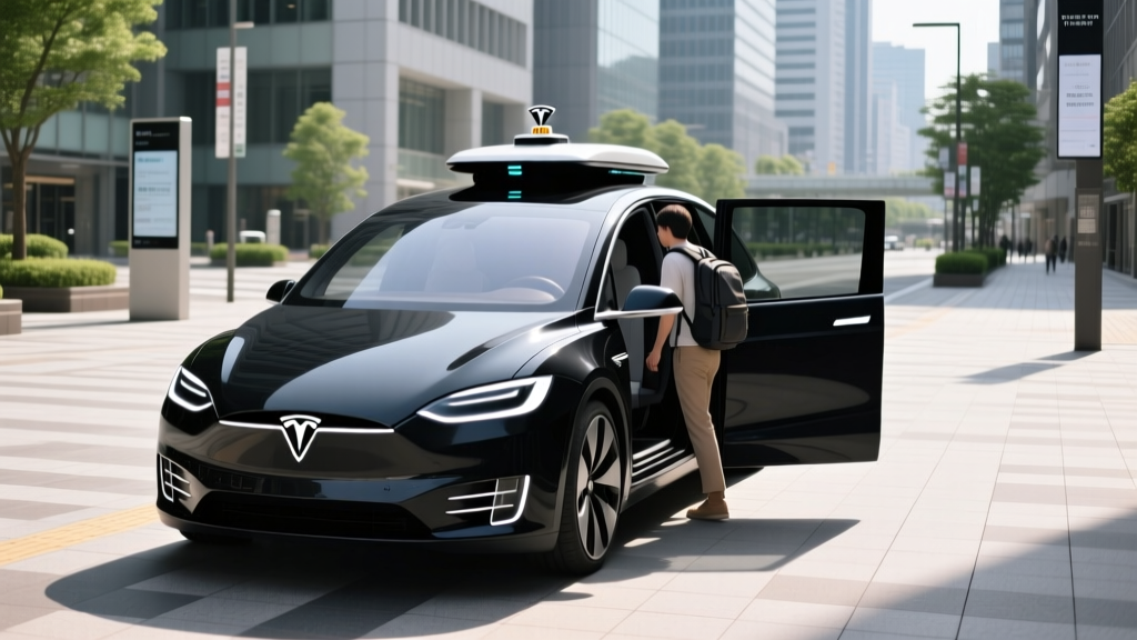
The most critical distinction for Atlanta riders is the gap between SAE Level 2 driver-assist (what you buy) and Level 4 robotaxi service (what you hail). Marketing language often blurs this line, but the engineering and legal realities are worlds apart.
| SAE Level | Name | Who Drives | Examples |
|---|---|---|---|
| Level 2 | Partial Automation | Human (must supervise at all times) | Tesla Autopilot/FSD Supervised, GM Super Cruise, Ford BlueCruise |
| Level 3 | Conditional Automation | System (in narrow conditions); human on standby | Mercedes DRIVE PILOT (limited markets, <40 mph) |
| Level 4 | High Automation | System (within geofenced ODD); no human needed | Waymo One, Zoox (limited cities) |
| Level 5 | Full Automation | System (everywhere, all conditions) | Does not exist commercially |
Where Can I Use Robotaxi Service in Atlanta Right Now?
As of early 2026, Waymo One is the only fully driverless commercial robotaxi service operating in the Atlanta metro area. The service launched in phases after receiving authorization under Georgia's autonomous vehicle testing and deployment framework.
| Operator | Status | Coverage Area | Hours |
|---|---|---|---|
| Waymo One | Live — driverless commercial service | Select zones: Buckhead, Midtown, portions of the Perimeter (I-285) corridor, Hartsfield-Jackson airport route | 24/7 within geofence |
| Cruise | Suspended — no Atlanta operations | N/A (post-2024 restructuring) | N/A |
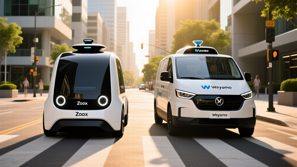
| Zoox | Not available in Atlanta | Las Vegas, San Francisco only | N/A |
Waymo's Atlanta geofence covers approximately 40-50 square miles of dense urban and suburban corridors. The service includes mapped routes to and from Hartsfield-Jackson Atlanta International Airport, a high-demand use case that accounts for a significant share of rides. However, the geofence does not extend to outer suburbs like Marietta, Alpharetta, or Lawrenceville — requesting a ride outside the zone will return an "area not available" message in the app.
Riders request trips through the Waymo One app (iOS/Android), which displays the exact service boundary as a shaded overlay on the map. Pickup and dropoff must both fall within the geofence.
Pricing: Robotaxi vs. Uber and Lyft in Atlanta
Robotaxi pricing in Atlanta follows a per-ride model similar to rideshare, but with some structural differences. Waymo does not use surge pricing in the same dynamic way Uber and Lyft do, though rates vary by time of day and demand.
| Route | Waymo One | UberX | Lyft Standard |
|---|---|---|---|
| Midtown → Airport (~12 mi) | $28–$38 | $24–$42 (surge-dependent) | $22–$40 |
| Buckhead → Midtown (~4 mi) | $14–$19 | $12–$22 | $11–$20 |
| Airport → Downtown (~10 mi) | $24–$34 | $20–$38 | $19–$36 |
On average, Waymo One fares in Atlanta run 5-15% higher than baseline UberX/Lyft rates during non-surge periods. During peak demand or events, however, Waymo's pricing can be more predictable because it lacks aggressive surge multipliers. Tipping is not expected (there's no driver), though the app provides an option.
Waymo periodically offers promotional credits for new Atlanta riders, typically $5-$15 off the first few rides. There is no subscription tier as of 2026.
Safety Record: What the Data Actually Shows
Safety is the most scrutinized aspect of robotaxi operations. Waymo publishes periodic safety reports, and the National Highway Traffic Safety Administration (NHTSA) tracks autonomous vehicle incidents through its Standing General Order.
- Total autonomous miles driven: Over 50 million driverless miles across all operational cities
- Injury-causing crash rate: Approximately 85% lower than human benchmarks for comparable urban driving, per Waymo's peer-reviewed analysis published in partnership with insurance researchers
- Police-reported crashes: Majority are low-speed rear-end or side-impact incidents where the robotaxi was struck by a human driver — not the at-fault party
- Contactless incidents: Extremely rare; Waymo vehicles are programmed to pull over safely and contact remote assistance if an anomaly is detected
Source: NHTSA AV incident reporting and Waymo safety publications.
It's important to contextualize these numbers. Robotaxis operate in geofenced, mapped urban areas at moderate speeds — typically under 45 mph. They don't drive on rural highways or in construction zones outside their ODD (Operational Design Domain). The comparison to human drivers is most valid in similar urban environments, where human crash rates are already highest.
In Atlanta specifically, Waymo reported no serious injuries in its first year of commercial operations, though minor contact incidents (scrapes, low-speed bumps) were logged and reported per NHTSA requirements. The Georgia Department of Public Safety oversees operational compliance.
How Waymo's Technology Stack Works
Waymo's fifth- and sixth-generation Driver systems use a redundant sensor suite that differs fundamentally from the camera-centric approach some consumer EV makers pursue. Here's what's onboard each Waymo vehicle operating in Atlanta (Jaguar I-PACE and Zeekr RT platforms):
Sensor Fusion Stack
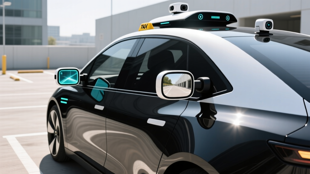
- LiDAR: Multiple roof- and body-mounted units providing 360° 3D point-cloud mapping up to 500+ meters. LiDAR is the primary depth-perception system and operates independently of lighting conditions.
- Cameras: High-resolution surround cameras for object classification, traffic-light state detection, signage reading, and lane-line identification. Multiple overlapping fields of view provide redundancy.
- Radar: Forward- and side-facing radar units for velocity detection of moving objects, particularly in rain or fog where camera and LiDAR performance can degrade.
- IMU/GPS: Inertial measurement units combined with RTK-GPS and HD map localization for centimeter-level positioning within the geofence.
- Audio sensors: External microphones to detect emergency vehicle sirens and adjust behavior accordingly.
HD Mapping and Geofencing
Waymo pre-maps every street within its Atlanta geofence at centimeter resolution. The vehicle continuously matches real-time sensor data against this map. If the vehicle exits the mapped zone or encounters unmapped road changes (new construction, temporary closures), it will initiate a safe stop or reroute rather than proceed blindly.
This LiDAR-first approach contrasts with Tesla's camera-only FSD stack. The tradeoff: LiDAR is expensive (thousands of dollars per unit) but provides reliable depth data in darkness, glare, and partial occlusion. Camera-only systems are cheaper to manufacture but depend on neural-network inference for depth estimation, which can struggle in edge cases.
Current Limitations: Where Robotaxis Fall Short
Level 4 autonomy is impressive within its domain, but that domain is narrow. Here are the real-world constraints Atlanta riders encounter:
Operational Limitations
- Geofence boundary: Trips cannot start or end outside the mapped zone. No Buckhead-to-Alpharetta rides, no trips to Lake Lanier.
- Heavy rain and flooding: While LiDAR handles light rain, Waymo vehicles will reduce speed or pull over during severe thunderstorms and flash-flood conditions common in Atlanta summers.
- Construction zones: Unmapped lane shifts, temporary barriers, and flaggers can trigger a remote-assistance pause. Expect longer trip times near active construction.
- Complex intersections: Some unprotected left turns and multi-lane merges are handled conservatively — the vehicle may wait longer than a human driver would.
- No highway driving outside ODD: While Waymo vehicles use limited highway segments (e.g., portions of I-285 within the geofence), they do not operate on I-75/85 through downtown at unrestricted speeds.
- Pickup precision: The vehicle stops at the nearest safe pull-over point, which may be 50-100 feet from your exact pin. You walk to the car, not the other way around.
- Accessibility: Current Waymo vehicles in Atlanta are not wheelchair-accessible. Zoox's purpose-built vehicle offers this in other markets but is not deployed here.
Regulatory Framework: Who Approves Robotaxi Operations
Georgia has been comparatively permissive on autonomous vehicle deployment. State law (O.C.G.A. § 40-6-298 et seq.) allows fully driverless vehicles on public roads without a human safety operator, provided the operator meets insurance, reporting, and vehicle-safety requirements.
At the federal level, NHTSA does not currently "approve" robotaxi services but mandates crash reporting through its Standing General Order for all Level 2+ and Level 4 systems. The NHTSA AV safety portal tracks all reported incidents. The Federal Motor Vehicle Safety Standards (FMVSS) still apply, though NHTSA has granted limited exemptions for vehicles without steering wheels (e.g., Zoox, GM Cruise Origin — though the Origin program was restructured).
Locally, the City of Atlanta and the Atlanta Regional Commission coordinate with operators on pickup/dropoff zones, curb management, and data-sharing agreements. Hartsfield-Jackson airport has designated robotaxi pickup areas on the arrivals level.
Frequently Asked Questions
Is Tesla FSD the same as a Waymo robotaxi?
No. Tesla Full Self-Driving (Supervised) is an SAE Level 2 driver-assist system. The driver must remain attentive, hands near the wheel, and is legally liable for all driving decisions. Waymo One is a Level 4 driverless service — no human is in the driver's seat, and the company assumes operational responsibility within the geofence. They are different categories of technology with different legal frameworks.
Can I use a robotaxi to get to the Atlanta airport?
Yes, if your origin is within Waymo's Atlanta geofence. Waymo One includes mapped routes to and from Hartsfield-Jackson with designated pickup zones. Expect fares of $24-$38 depending on your starting point within the service area.
What happens if the Waymo vehicle encounters a problem mid-trip?
The vehicle is designed to execute a "minimal risk condition" — it will signal, pull to the shoulder or a safe stopping point, and connect to Waymo's remote assistance team. Riders can contact support through the in-vehicle screen or the app. The vehicle will not continue driving if it detects a system fault.
Are robotaxis available 24/7 in Atlanta?
Waymo One operates around the clock within its Atlanta geofence. However, availability of nearby vehicles can vary — late-night wait times may be longer in lower-demand zones on the geofence periphery.
How does Atlanta compare to other robotaxi cities?
Atlanta's robotaxi footprint is smaller than Phoenix (Waymo's longest-running market) and San Francisco. Phoenix has the broadest geofence and most mature operations. San Francisco has denser coverage but has faced more regulatory scrutiny following Cruise's 2023 incident and subsequent restructuring. Atlanta sits in the middle — a growing market with airport connectivity as a key differentiator.
Will self-driving cars in Atlanta expand beyond the current geofence?
Waymo has signaled intent to expand Atlanta coverage incrementally, but each expansion requires new HD mapping, local coordination, and regulatory confirmation. There is no announced timeline for covering the full metro area. Expansion tends to follow demand density and road-complexity assessments — expect gradual growth toward perimeter suburbs over the next 12-24 months, not a sudden city-wide unlock.