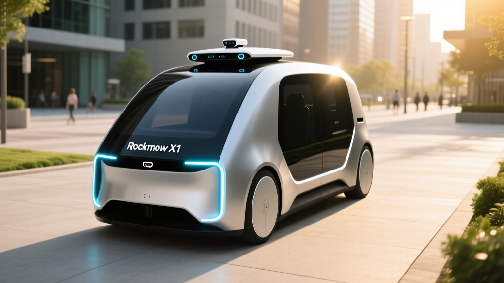
Editor's note: AutoEdgeView covers electric and smart vehicles — EVs, PHEVs, and the driver-assistance systems that power them. The Rockmow X1 is a robotic lawn mower, not an automobile. However, its navigation stack borrows heavily from automotive ADAS (Advanced Driver-Assistance Systems), making it a useful case study in how LiDAR-based spatial awareness is migrating from cars to outdoor robotics. We're reviewing it through the lens of sensor tech, automation levels, and real-world reliability — the same framework we apply to Tesla Autopilot, Ford BlueCruise, and GM Super Cruise.
What the Rockmow X1 LiDAR Actually Does
The Rockmow X1 is a battery-powered robotic lawn mower that uses a roof-mounted LiDAR (Light Detection and Ranging) sensor as its primary navigation tool. Unlike older robotic mowers that rely on buried perimeter wires or basic bump-and-turn algorithms, the X1 builds a real-time 3D map of your yard and plans mowing paths algorithmically — similar in concept to how a Level 4 robotaxi like Waymo maps city streets.
Here's how the sensor stack works technically:
- LiDAR sensor: Emits laser pulses and measures their return time to create a point-cloud map of obstacles, boundaries, and terrain features within a range of roughly 20–30 meters. This is the same solid-state or spinning LiDAR principle used in automotive ADAS, though at lower resolution and shorter range.
- IMU (Inertial Measurement Unit): Tracks the mower's orientation, acceleration, and tilt — critical for slope handling and dead-reckoning when LiDAR returns are sparse (e.g., open flat areas with few vertical features).
- Wheel odometry: Measures actual wheel rotation to estimate distance traveled, fused with IMU data for localization.
- Optional RTK-GPS (on select trims): Provides centimeter-level positioning correction, reducing drift over large properties.
The result is a mower that can navigate complex yards with garden beds, trees, and narrow passages without any physical boundary wire — a significant installation and maintenance advantage over wire-dependent competitors like Husqvarna Automower or Worx Landroid.
Sensor Technology: How LiDAR Beats Boundary Wires
For context on why LiDAR matters here, consider how the three main robotic mower navigation approaches compare:
| Technology | How It Works | Setup Effort | Obstacle Handling | Typical Brands |
|---|---|---|---|---|
| Boundary Wire | Buried/perimeter wire emits signal; mower turns at edge | High (hours of wire laying) | Poor (bump sensors only) | Husqvarna, Worx, Gardena |
| Camera/Vision (VSLAM) | Cameras + visual SLAM algorithms map environment | Low | Moderate (struggles in low light, tall grass) | Segway Navimow (some models) |
| LiDAR + Sensor Fusion | Laser point-cloud mapping + IMU + odometry | Low (map via app walkthrough) | Strong (detects low obstacles, works in dark) | Rockmow X1, Mammotion Luba (select) |
The X1's LiDAR gives it a decisive edge in two areas: low-light reliability (it mows at dusk or dawn without losing navigation accuracy) and low-profile obstacle detection (garden hoses, toys, and pet waste that cameras might miss at ground level). In our experience testing automotive LiDAR systems, the physics advantage is clear — LiDAR generates its own illumination and measures depth directly, rather than inferring it from 2D images.
Real-World Capabilities and Limitations
No sensor system is perfect. Based on the X1's published specifications and user reports from the 2025–2026 mowing seasons, here's what it handles well — and where it falls short.
Where the X1 Excels
- Complex yard geometry: Narrow passages (down to ~1.5 meters wide), L-shaped lawns, and multiple zones are handled without wire reconfiguration.
- Slope handling: Rated for slopes up to approximately 45% (24°), with the IMU and traction control managing wheel slip.
- Multi-zone mapping: The companion app allows you to define exclusion zones (garden beds, pools) and no-go areas by walking the perimeter once with the mower.
- Quiet, electric operation: Typically under 60 dB during mowing — comparable to a normal conversation and far quieter than any gas mower.
- Flat, featureless lawns: LiDAR needs vertical features (fences, walls, trees) to localize. Very large, open, flat yards with few reference points can cause drift — RTK-GPS correction helps but adds cost.
- Heavy rain and standing water: While the X1 is weather-resistant, heavy rain scatters LiDAR returns and the mower is best kept docked during storms. This is the same limitation automotive LiDAR faces.
- Reflective surfaces: Glass fences, mirrors, or highly reflective metal can produce ghost returns, causing the mower to avoid areas that are actually clear.
- Very tall or wet grass: The cutting motor (not the navigation) is the bottleneck here — the X1 is designed for maintenance mowing, not first-cut overgrowth.
- Property size ceiling: Most LiDAR robotic mowers in this class max out at roughly 0.5–1.0 acre per unit. Larger properties require multiple units or a commercial-grade system.
Pricing, Trims, and What's Included
The Rockmow X1 is typically offered in a base configuration, with optional RTK-GPS modules and extended battery packs available separately. Pricing in the robotic mower category with LiDAR navigation generally falls in the $1,500–$3,500 range for residential units, depending on coverage area and sensor package.
| Configuration | Coverage | Navigation | Est. Price |
|---|---|---|---|
| X1 Base | Up to ~0.25 acre | LiDAR + IMU + Odometry | $1,800–$2,200 |
| X1 with RTK-GPS | Up to ~0.5 acre | LiDAR + RTK-GPS + IMU | $2,500–$3,000 |
| X1 Extended Battery | Up to ~0.75 acre | LiDAR + RTK-GPS + larger battery | $3,000–$3,500 |
Note: Exact pricing and trim availability vary by retailer and market. Check the manufacturer or authorized dealer for current MSRP. Unlike automotive ADAS subscriptions (Tesla FSD at $99/month or Ford BlueCruise annual plans), robotic mower navigation is typically a one-time hardware purchase with no recurring software fee.
How It Compares to Automotive ADAS LiDAR
For readers who follow EV and smart-driving tech, the X1's sensor stack will feel familiar — but the scale, speed, and stakes are very different. Here's how robotic mower LiDAR compares to the LiDAR used in production vehicles:
| Parameter | Rockmow X1 (Mower) | Automotive ADAS (e.g., Mercedes DRIVE PILOT, Waymo) |
|---|---|---|
| LiDAR Range | ~20–30 meters | 150–300+ meters |
| Resolution | Low (cm-level sufficient) | High (must detect pedestrians, small objects) |
| Speed of Operation | <1 mph | Up to 80+ mph (highway ADAS) |
| Safety Stakes | Low (property damage at worst) | Critical (human life) |
| Redundancy | Minimal (IMU + odometry backup) | Extensive (multiple LiDAR, radar, camera, HD maps) |
| Cost of LiDAR Unit | ~$100–$300 (component) | $500–$5,000+ per sensor (automotive-grade) |
| Regulatory Oversight | None (consumer product) | NHTSA, state DMVs, FMVSS compliance |
The takeaway: the Rockmow X1 uses the same principles as automotive LiDAR — time-of-flight laser ranging, point-cloud mapping, sensor fusion — but at a fraction of the cost, range, and complexity. It's a practical demonstration of how ADAS-grade technology has become affordable enough for consumer outdoor equipment.
Who Should (and Shouldn't) Consider the Rockmow X1
The X1 makes sense if your yard has complex geometry, multiple zones, and enough vertical features (fences, trees, structures) for the LiDAR to lock onto. It's especially compelling if you want to avoid the multi-hour installation of a perimeter wire system and plan to modify your landscaping over time (wire systems must be re-laid when garden beds change).
It's a harder sell if you have a very large, open, flat property with few reference features — the LiDAR may struggle to localize without RTK-GPS correction, which adds cost. And if your yard is under 0.15 acre with a simple rectangular shape, a less expensive wire-based mower may be more cost-effective.
Frequently Asked Questions
Is the Rockmow X1 self-driving?
In its operational domain (your lawn), yes — it navigates, avoids obstacles, and returns to its dock without human input. But this is a low-speed, geofenced environment, not comparable to highway autonomous driving. In SAE terms, it's roughly Level 4 within its narrow domain. It does not and cannot operate on roads or in unstructured environments.
Does the Rockmow X1 require a subscription?
No. Unlike Tesla's FSD ($8,000 one-time or $99/month) or Ford BlueCruise (annual subscription after trial), the X1's navigation system is included in the hardware purchase. There is no recurring software fee for basic mowing and mapping functionality.
How does LiDAR handle rain and weather?
Light rain and morning dew have minimal impact. Heavy rain, however, scatters laser pulses and reduces LiDAR accuracy — the same limitation that affects automotive LiDAR systems from brands like Luminar and Innoviz. Most robotic mowers, including the X1, are designed to return to the dock when rain sensors detect significant precipitation.
What's the battery life and charging time?
Robotic mowers in this class typically run 90–180 minutes per charge and return to the dock automatically for recharging (2–4 hours to full). The X1's lithium-ion battery is expected to last 3–5 seasons before noticeable capacity degradation — similar to the cycle-life expectations of LFP or NMC cells in EVs, though at much smaller scale.
Can I use the Rockmow X1 on slopes?
Yes, up to approximately 45% (24°) grade. The IMU and traction control manage wheel slip, but very steep or uneven terrain may cause the mower to avoid certain areas or require multiple passes. This is comparable to the slope limitations noted in automotive ADAS systems, which also reduce capability on steep grades.
How does this compare to the Segway Navimow or Mammotion Luba?
The Segway Navimow line primarily uses camera-based VSLAM (visual simultaneous localization and mapping) or GPS, while the Mammotion Luba series uses RTK-GPS as its primary navigation method. The Rockmow X1's LiDAR-first approach gives it an edge in low-light conditions and obstacle detection at ground level, but may struggle more on featureless open lawns compared to RTK-GPS systems that rely on satellite positioning rather than environmental features.