The Short Answer: Waymo's Freeway Access in 2026
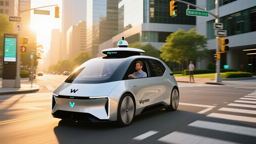
If you've been wondering whether Waymo's driverless taxis can handle highway speeds, the answer is yes — but only on specific, mapped freeway segments within their approved service areas. As of early 2026, Waymo's sixth-generation robotaxi (built on the Zeekr M-Vision platform and the newer Jaguar I-PACE fleet still in rotation) can operate on select freeways in Phoenix, San Francisco, Los Angeles, and Austin. However, "on the freeway" doesn't mean everywhere. Waymo's Level 4 autonomy is geofenced, and highway access is limited to corridors the company has extensively mapped and validated.
This is a critical distinction that separates robotaxi services from consumer driver-assist systems. Let's break down exactly what Waymo can do on highways, where you can ride, what it costs, and what the safety data actually shows.
SAE Automation Levels: Why Waymo Is Not the Same as Autopilot or FSD
Before examining freeway capabilities, it's essential to understand what Level 4 autonomy actually means — and how it differs from the Level 2 systems in consumer vehicles you can buy today.
| SAE Level | Classification | Who Drives | Examples |
|---|---|---|---|
| Level 0 | No Automation | Human does everything | Basic cruise control |
| Level 1 | Driver Assistance | Human + one automated function | Adaptive cruise OR lane centering |
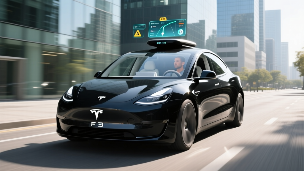
| Level 2 | Partial Automation | Human supervises; system handles steering + speed | Tesla Autopilot, GM Super Cruise, Ford BlueCruise, Tesla FSD (Supervised) |
| Level 3 | Conditional Automation | System drives in narrow conditions; human must take over when requested | Mercedes Drive Pilot (limited markets) |
| Level 4 | High Automation | System drives with no human needed — within a defined operational design domain (ODD) | Waymo One, Zoox (limited areas) |
| Level 5 | Full Automation | System drives everywhere, all conditions | Does not exist commercially |
Where Can You Use Waymo Right Now? Service Areas and Freeway Access
Waymo One operates commercially in four U.S. metro areas as of 2026. Freeway capability varies by city, and not all freeway segments within a metro are enabled. The system relies on high-definition mapping and geofencing — if a freeway on-ramp or corridor hasn't been validated, the vehicle simply won't route onto it.
| Metro Area | Service Zone Size | Freeway Access | Notes |
|---|---|---|---|
| Phoenix, AZ (East Valley + Downtown) | ~225 sq mi | Yes — Loop 101, Loop 202, I-10 segments, US-60 | Longest-running market; most expansive freeway coverage |
| San Francisco, CA | ~50 sq mi (city proper) | Limited — US-101 segments, I-280 portions | Dense urban core; freeway access expanded incrementally through 2025 |
| Los Angeles, CA | ~80 sq mi (Santa Monica, Hollywood, Downtown, Mid-City) | Yes — I-10, I-405 segments, US-101 portions | Freeway segments added progressively; not all corridors enabled |
| Austin, TX | ~45 sq mi (Downtown, South Austin, airport corridor) | Partial — I-35, Mopac (Loop 1) segments | Launched commercially late 2024; freeway mapping ongoing |
Waymo has also announced testing in additional cities, but testing operations are not commercial rides. Only the four metros above offer paid, driverless Waymo One rides to the public. Airport service is available at Phoenix Sky Harbor (PHX) and San Francisco International (SFO), both of which involve freeway segments.
How Waymo Handles Freeway Driving: Technology Stack
Waymo's approach to autonomy is sensor-heavy and fundamentally different from camera-only systems. The sixth-generation Waymo Driver (introduced in 2024 and now the primary fleet hardware) uses a multi-modal perception suite:
- LiDAR: Multiple solid-state and spinning LiDAR units providing a 360-degree, high-resolution 3D point cloud out to 500+ meters. LiDAR is the backbone of Waymo's object detection and is independent of ambient light.
- Cameras: High-resolution cameras covering 360 degrees for color, signage, traffic-light state, and lane-marking recognition. Multiple focal lengths handle near-field and long-range perception.
- Radar: Imaging radar for velocity detection of moving objects, particularly useful in rain or fog where LiDAR and cameras degrade.
- External audio sensors: Microphones to detect emergency vehicle sirens and adjust behavior accordingly.
- HD Maps: Centimeter-accurate maps of every approved road, including freeway lanes, merge points, and exit geometry. The vehicle localizes itself against these maps in real time.
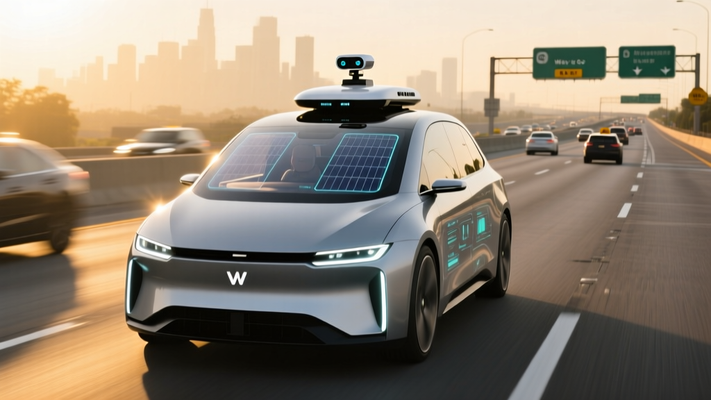
Waymo's freeway behavior includes automatic lane changes for slower traffic, smooth merge handling, speed matching to flow, and exit routing based on the trip destination. Maximum operational speed is posted at 65 mph in most zones, though Waymo has validated operation up to 70 mph on certain Phoenix freeway segments.
Safety Record: What the Data Actually Shows
Safety is the most scrutinized aspect of robotaxi operations. Waymo publishes periodic safety data, and independent researchers have analyzed their performance. Here's what the numbers indicate as of early 2026:
- Total autonomous miles driven: Over 30 million fully driverless miles across all markets (Waymo Safety Report)
- Injury-causing crash rate: Approximately 85% lower than the human benchmark in comparable urban environments, per Waymo's peer-reviewed analysis published with insurance-claims data
- Contact rate: Property-damage-only contact rate roughly 50-60% below the human reference baseline
- Freeway incidents: Waymo has reported zero at-fault, injury-causing collisions on freeway segments as of the most recent public safety report
- NHTSA Standing General Order: All Level 4 operators must report crashes within 24 hours. Waymo's reported incidents have predominantly been low-speed, rear-end, or side-swipe contacts in urban settings — not freeway events
It's worth noting that Waymo's freeway miles represent a smaller portion of total miles than city miles, simply because most trips are short urban rides. The sample size for freeway safety data is therefore smaller than for surface streets. Additionally, Waymo's geofencing means the system only operates on freeway segments it has exhaustively tested — it avoids construction zones, unmapped detours, and corridors with known edge-case complexity.
For comparison context, the National Highway Traffic Safety Administration (NHTSA) reports that human drivers experience approximately 1.35 fatalities per 100 million vehicle miles traveled nationally. Waymo has reported zero fatalities in its fully driverless operations to date.
Pricing: Waymo vs. Uber and Lyft in 2026
Waymo One uses a dynamic pricing model similar to rideshare platforms — base fare plus per-mile and per-minute charges, with surge pricing during high demand. There is no tipping (there's no driver), and the app provides an upfront price before you confirm.
| Scenario | Waymo One | UberX / Lyft Standard | Notes |
|---|---|---|---|
| Short urban trip (~3 mi, 10 min) | $10–$14 | $9–$13 | Roughly comparable; Waymo sometimes $1-2 higher |
| Medium trip (~8 mi, 20 min) | $18–$26 | $16–$24 | Similar range; Waymo premium reflects no-tip model |
| Airport run (~15 mi, freeway, 25 min) | $32–$45 | $28–$42 | Waymo airport pricing competitive, especially during surge |
| Surge / peak demand | 1.2x–1.8x multiplier | 1.5x–3.0x multiplier | Waymo surge tends to be less aggressive than Uber/Lyft |
The practical reality: Waymo is generally within a few dollars of UberX or Lyft for equivalent trips. The value proposition isn't primarily about cost savings — it's about a consistent, private, driverless experience. Wait times vary by market and time of day but typically range from 3 to 10 minutes in well-covered zones.
To use Waymo One, download the Waymo app (iOS/Android), create an account, enter your destination, and confirm the upfront price. The vehicle arrives, you unlock it via the app, and the ride begins with no human in any seat.
Current Limitations: Where Waymo Can't Go and What It Can't Do
Despite significant capability, Waymo's Level 4 system operates within a defined Operational Design Domain (ODD). These limitations are non-negotiable constraints of the current technology:
- Geofencing: The vehicle will not operate outside its mapped service area. If your destination crosses the geofence boundary, the app will not let you book the ride. You cannot "take a Waymo" to a city it doesn't serve.
- Weather restrictions: Heavy rain, dense fog, and any snow or ice will cause Waymo to suspend service in affected areas. Phoenix rarely faces this, but San Francisco fog and Austin thunderstorms can trigger temporary pauses. The LiDAR and camera systems degrade in heavy precipitation, and Waymo takes a conservative approach.
- Construction zones: While Waymo can handle some lane shifts and temporary configurations, major freeway construction with unmapped detours will cause the system to reroute or, in some cases, pull over safely and end the trip.
- Speed limits: Waymo currently operates up to 65-70 mph depending on the segment. It will not operate on roads with posted speeds above its validated maximum.
- No rural or unmapped roads: Waymo is strictly an urban/suburban service. Dirt roads, rural highways, and private roads are not in the ODD.
- Pets and unaccompanied minors: Riders must be 18+. Small pets in carriers are allowed; large animals are not. No unaccompanied children.
- Stops and multi-destination trips: You cannot ask a Waymo to make a stop at a store mid-trip. It goes from origin to destination as booked.
Regulatory Landscape: Who Approves Robotaxi Operations
Robotaxi deployment in the United States involves a layered regulatory framework:
- Federal (NHTSA): The National Highway Traffic Safety Administration sets vehicle safety standards (FMVSS) and requires crash reporting via Standing General Order. NHTSA does not "approve" robotaxi services but can investigate and issue recalls. In 2024-2025, NHTSA opened inquiries into several robotaxi incidents, resulting in software updates from operators.
- State level: This is where most operational authority lies. Arizona has been the most permissive, allowing commercial driverless operations with minimal restriction. California's California Public Utilities Commission (CPUC) and the Department of Motor Vehicles (DMV) jointly regulate testing and commercial deployment — Waymo holds both a DMV testing permit and a CPUC commercial carrier permit. Texas regulates through the Texas Department of Licensing and Regulation (TDLR) and local authorities.
- Local/municipal: Cities can impose additional requirements around parking, curb access, and emergency-response protocols. San Francisco notably saw significant local pushback in 2023-2024, resulting in temporary restrictions that have since been eased as Waymo demonstrated safety improvements.
The regulatory environment continues to evolve. As of 2026, no federal legislation specifically governs Level 4 commercial robotaxi operations — the framework remains a patchwork of state and local rules, which is why expansion to new cities is a deliberate, multi-year process rather than a simple software rollout.
Frequently Asked Questions
Does Waymo go on the freeway in every city it operates?
No. Freeway access varies by market. Phoenix has the most extensive freeway coverage, including Loop 101, Loop 202, and I-10 segments. San Francisco has limited freeway access on US-101 and I-280. Los Angeles includes I-10 and I-405 portions. Austin has partial access on I-35 and Loop 1. Within each city, only specific, mapped segments are enabled.
How fast does Waymo drive on the freeway?
Waymo matches the flow of traffic up to its validated maximum, which is typically 65 mph and up to 70 mph on certain Phoenix segments. It will not exceed the posted speed limit and will adjust speed for weather, traffic density, and road conditions.
Is Waymo truly self-driving, or is someone monitoring remotely?
Waymo One is SAE Level 4 — there is no human driver in the vehicle, and no remote "joystick" operator driving the car in real time. Waymo does have a remote assistance team that can provide guidance in ambiguous situations (e.g., an unusual construction setup), but this team does not steer or control the vehicle. The autonomous system makes all driving decisions independently.
Can I take a Waymo from one city to another?
No. Waymo's geofence boundaries do not extend between metro areas. You cannot book a Waymo from Phoenix to Tucson or from San Francisco to Los Angeles. The service is designed for intra-city trips within the mapped service area.
What happens if the Waymo encounters an unexpected situation on the freeway?
If the system encounters a scenario it cannot handle — such as an unmapped detour or a severe weather event — it will attempt to safely change lanes, reduce speed, and pull onto the shoulder or exit the freeway. The vehicle is designed to come to a controlled stop in a safe location and contact remote assistance if needed. Riders can also contact support through the in-app help button at any time.
How does Waymo's freeway capability compare to Tesla FSD?
These are fundamentally different systems. Tesla FSD (Supervised) is a Level 2 driver-assist system that can operate on freeways nationwide but requires the human driver to remain alert, hands available, and legally responsible at all times. Waymo is Level 4 — fully driverless but restricted to geofenced areas. Tesla FSD goes more places; Waymo requires nothing from the rider. They solve different problems and carry different legal and safety frameworks.