The Sensor Suite Behind Every Robotaxi
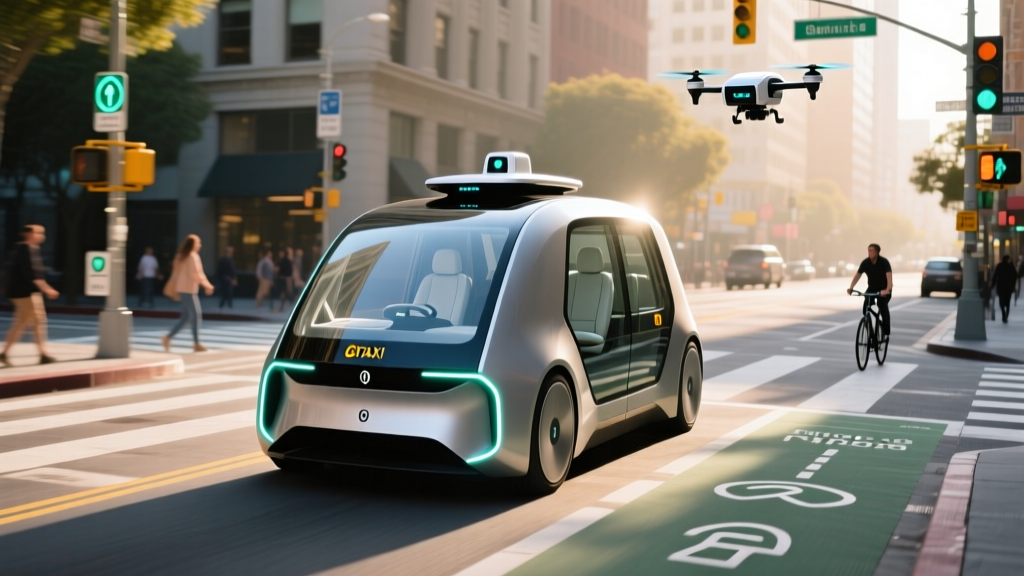
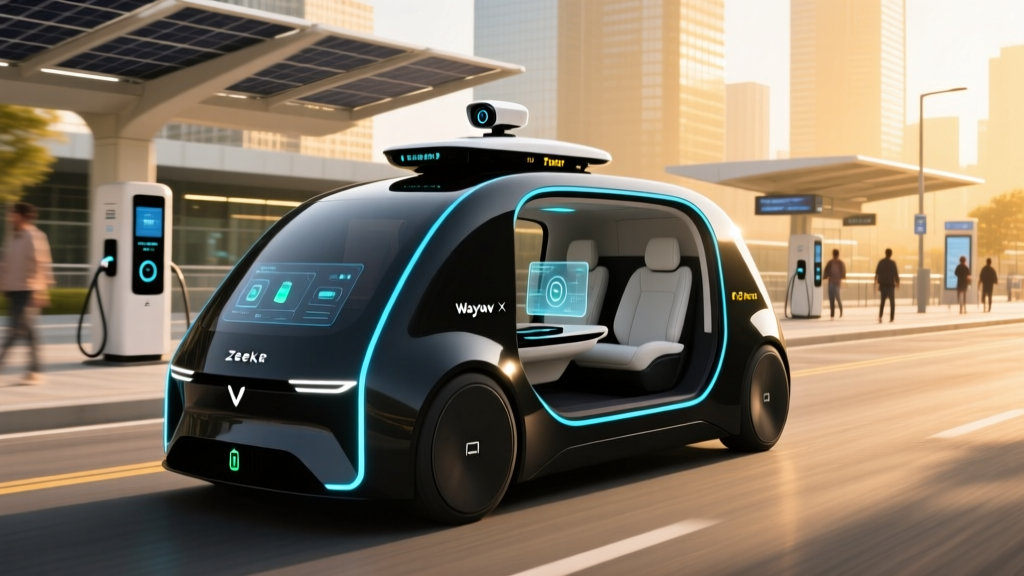
Strip away the branding and every robotaxi on the road is, at its core, a rolling sensor platform. The vehicle's ability to perceive pedestrians, read lane markings, track a cyclist darting from behind a parked truck, and predict the trajectory of an oncoming left-turner depends entirely on its autonomous vehicles sensors — the hardware stack that converts the physical world into machine-readable data. In 2026, three production robotaxi services operate paying riders on U.S. streets: Waymo (Alphabet), Cruise (GM), and Zoox (Amazon). Each has made fundamentally different bets on which sensor modalities matter most, and those engineering choices directly shape where they can drive, how they handle edge cases, and what it costs to hail one.
This guide breaks down the four primary sensor types used in autonomous driving, compares how the major operators deploy them, and grounds the technology discussion in the practical questions riders actually ask: where can I get a ride, what does it cost, and is it safe?
The Four Pillars of an AV Sensor Stack
Modern robotaxis rely on four complementary sensor categories. No single modality is sufficient on its own — each compensates for the others' blind spots.
1. Cameras (Vision)
High-resolution cameras (typically 8–12 mounted around the vehicle) provide color, texture, and semantic information: reading stop signs, distinguishing a red light from a green one, detecting lane-marking paint, and classifying objects. Cameras excel in well-lit conditions but degrade in heavy rain, fog, direct sun glare, and darkness without sufficient ambient light. Tesla's consumer FSD Supervised system relies on a camera-only approach (SAE Level 2), while robotaxi operators supplement cameras with active sensors.
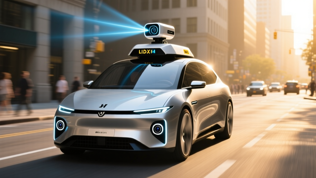
2. Lidar (Light Detection and Ranging)
Lidar units emit pulsed laser light and measure the time-of-flight of returning photons to build a precise, real-time 3D point cloud of the environment. Modern automotive lidar (from suppliers like Hesai, Luminar, and Waymo's in-house units) achieves 200–300 meter range with centimeter-level depth accuracy. Lidar works in total darkness and is largely immune to lighting changes, but heavy precipitation, dense fog, and dirty sensor housings can scatter returns. Each Waymo 6th-generation vehicle carries at least 5 lidar units for overlapping 360° coverage.
3. Radar (Radio Detection and Ranging)
Millimeter-wave radar (77 GHz) measures the distance and relative velocity of objects, particularly fast-moving vehicles, at ranges exceeding 250 meters. Radar penetrates rain, fog, and dust better than lidar or cameras, making it a critical redundancy layer. Imaging radar (e.g., Continental ARS540, ZF FARAC) now provides near-lidar angular resolution, though at lower point density. Most robotaxis carry 5–6 radar units positioned for full 360° overlap.
4. Ultrasonic Sensors
Short-range ultrasonic transducers (12–16 per vehicle) handle close-proximity detection below 5 meters — critical for parking, curb alignment during passenger pickup, and detecting low obstacles like curbs, bollards, or a child stepping off a sidewalk at low speed.
Raw sensor data from all four modalities feeds into a central compute platform (often dual NVIDIA DRIVE Orin or custom ASIC chips delivering 500+ TOPS of processing). Sensor fusion algorithms correlate detections across modalities — a lidar point cloud confirms a camera-detected pedestrian, radar velocity data validates the tracking prediction. The result is a unified, redundant world model updated 10–20 times per second. If one sensor is blinded (e.g., camera washed out by sun glare), the others maintain coverage.
| Sensor Type | Strengths | Weaknesses | Typical Count per Robotaxi | Effective Range |
|---|---|---|---|---|
| Camera (Vision) | Color, text/sign reading, semantic classification | Degrades in low light, glare, heavy rain | 8–12 | ~250 m |
| Lidar | Precise 3D depth, works in darkness | Scattered by heavy rain/fog, high unit cost | 5–8 | 200–300 m |
| Radar (mmWave) | Velocity measurement, all-weather penetration | Lower angular resolution, ground clutter | 5–6 | 250+ m |
| Ultrasonic | Close-range obstacle detection, low cost | Very short range, slow-moving objects only | 12–16 | ~5 m |
SAE Automation Levels: Where Robotaxis Actually Sit
Before comparing services, it is essential to distinguish between consumer driver-assist systems and true driverless robotaxis. The SAE International J3016 standard defines six levels of driving automation, and the difference between Level 2 and Level 4 is not incremental — it is categorical.
| SAE Level | Name | Who Drives? | Examples |
|---|---|---|---|
| Level 0 | No Automation | Human does everything | Traditional vehicles |
| Level 1 | Driver Assistance | Human + one assist (steering OR speed) | Adaptive cruise control, lane-keep |
| Level 2 | Partial Automation | Human supervises; system handles steering AND speed | Tesla Autopilot/FSD Supervised, GM Super Cruise, Ford BlueCruise |
| Level 3 | Conditional Automation | System drives in limited conditions; human on standby | Mercedes DRIVE PILOT (limited markets, <40 mph) |
| Level 4 | High Automation | System drives fully within geofenced ODD; no human needed | Waymo, Cruise, Zoox robotaxis |
| Level 5 | Full Automation | System drives everywhere, all conditions | Does not exist in production (2026) |
Waymo, Cruise, and Zoox operate at SAE Level 4 — fully driverless within a defined Operational Design Domain (geofenced area, specific weather conditions, mapped roads). There is no human driver in the vehicle, no steering wheel for a passenger to grab, and no expectation of human takeover. This is fundamentally different from Tesla FSD Supervised or GM Super Cruise, which are SAE Level 2 systems requiring continuous driver attention and legal responsibility. Never conflate the two.
Where Can You Actually Ride a Robotaxi in 2026?
Robotaxi availability remains geographically concentrated. Each operator holds specific permits from state and municipal regulators, and service areas are tightly geofenced — the vehicle will not operate outside its approved zone.
| Operator | Live Cities | Service Hours | Regulatory Body | Status |
|---|---|---|---|---|
| Waymo (Alphabet) | Phoenix (metro), San Francisco, Los Angeles, Austin | 24/7 in Phoenix & SF; restricted hours in LA/Austin | CA DMV / CPUC, AZ DOT, TX DOT | Commercial, driverless |
| Cruise (GM) | Phoenix, Houston (limited zones) | Daytime/evening hours | CA DMV (suspended/rebuilding), AZ DOT, TX DOT | Commercial, driverless (reduced fleet post-2024 restructuring) |
| Zoox (Amazon) | Las Vegas (Strip corridor), Foster City, CA (limited) | Limited hours | NV DMV, CA DMV | Commercial, driverless (purpose-built vehicle) |
| Tesla (Robotaxi) | Announced Austin pilot | N/A | TX DOT (pending) | Announced / not yet commercially available to public |
If you live outside these metros, robotaxi service is not yet available to you. Expansion timelines depend on regulatory approval in each new jurisdiction — a process that typically takes 12–24 months of testing, incident reporting, and public comment periods.
Pricing: Robotaxi vs. Uber and Lyft
Robotaxi fares are set by the operator and are not subject to driver-side surge pricing (there is no driver to pay), but demand-based pricing still applies in some markets. Here is how typical rides compare in the Phoenix metro, where Waymo has the longest operational history:
| Service | Base Fare Range | Per-Mile Rate | Surge Behavior | Notes |
|---|---|---|---|---|
| Waymo | $8–$12 | $1.25–$1.75/mi | Moderate demand pricing | No tipping; promo codes common for new riders |
| UberX | $7–$14 | $1.10–$2.00/mi | High surge during peak | Tip expected (15–20%) |
| Lyft | $7–$13 | $1.05–$1.90/mi | Prime Time pricing | Tip expected |
| Cruise | $7–$11 | $1.10–$1.60/mi | Moderate demand pricing | Reduced availability post-restructuring |
For a typical 5-mile urban trip, Waymo pricing is competitive with UberX once you factor in the absence of a tip. Longer trips (15+ miles) and airport runs often see Waymo pricing slightly below rideshare, though wait times can be longer in lower-density geofence zones. Waymo also offers a subscription tier ($39/month) that includes a set number of rides, which regular commuters in Phoenix and SF have adopted.
Safety Record: What the Data Actually Shows
Robotaxi safety is the most scrutinized — and most misunderstood — aspect of the technology. Unlike human drivers, robotaxi operators are required to report every collision, disengagement, and unusual incident to state regulators. This creates a transparency that makes direct comparison possible, though the data requires careful interpretation.
- Cumulative driverless miles: 10+ million fully autonomous miles across Phoenix, SF, and LA (NHTSA filings and Waymo safety reports)
- Injury-causing collision rate: Approximately 85% lower than human benchmarks in comparable urban environments, per Waymo's peer-reviewed analysis published in 2024
- Contactable property-damage collisions: Roughly 57% lower than human benchmarks in the same geofenced areas
- Disengagement rate: Not publicly disclosed per-ride; Waymo reports fewer than 1 remote-assist intervention per 10,000+ miles in mature markets
For context, Cruise's October 2023 incident in San Francisco — where a pedestrian was dragged after being struck by a human-driven vehicle and then run over by a Cruise robotaxi — led to a statewide permit suspension by the California DMV. Cruise spent 2024–2025 restructuring its safety protocols, reducing fleet size, and relaunching in limited markets with enhanced remote-assist oversight. The incident underscores that while robotaxi collision rates are low, edge-case handling (multi-vehicle, multi-agent scenarios with unpredictable human actors) remains the hardest engineering challenge.
Zoox, operating a purpose-built bidirectional vehicle with no steering wheel, has logged fewer public miles but reports zero at-fault injury collisions in its Las Vegas service area as of early 2026. The smaller fleet and tighter geofence limit exposure but also limit the statistical confidence of those numbers.
Safety data is heavily influenced by Operational Design Domain (ODD) constraints. Robotaxis operate in mapped, relatively predictable urban environments with moderate speed limits (typically 35–45 mph max). They do not yet operate on high-speed highways above 65 mph, in heavy snowfall, or in unmapped construction zones. Comparing robotaxi safety rates to national human-driving averages (which include rural highways, impaired driving, and extreme weather) overstates the robotaxi advantage. The fair comparison is urban, low-speed, mapped-road driving — and there, robotaxis perform well but not perfectly.
Current Limitations: Where Robotaxis Cannot Go
Despite impressive capabilities within their geofenced zones, robotaxis face hard operational boundaries dictated by their sensor suites and software:
- Heavy precipitation: Lidar returns scatter in heavy rain and snow. Waymo and Cruise will pause service or restrict routes during severe weather events. Light rain is handled, but a Phoenix monsoon or SF fog bank can trigger pull-overs.
- Geofence boundaries: The vehicle will not cross its approved operational zone. If your destination falls outside the geofence, the app will not let you book the ride. Expansion happens block-by-block, not city-by-city.
- Construction zones: Unmapped lane closures, temporary barriers, and flaggers can confuse the perception stack. Most operators will reroute around active construction rather than attempt to navigate it.
- Unusual road configurations: Unmarked intersections, private driveways, parking garages, and rural roads are outside the ODD. Robotaxis operate on mapped public roads only.
- Emergency vehicles: While robotaxis are programmed to yield to sirens and flashing lights, complex multi-emergency-vehicle scenarios (e.g., a fire truck blocking one lane while an ambulance approaches from behind) still trigger remote-assist calls.
- Pickup/dropoff precision: The vehicle will stop at the nearest safe, legal curb — not necessarily at your exact door. In dense urban areas, this can mean a 1–2 block walk from the actual stop.
The Regulatory Landscape: Who Approves Robotaxi Operations?
Robotaxi deployment in the U.S. is regulated at the state level, with no comprehensive federal framework for commercial driverless operations. The patchwork creates significant variation:
- California: The DMV issues testing permits; the California Public Utilities Commission (CPUC) issues commercial deployment permits. Both must be held simultaneously. After the Cruise incident, the DMV suspended Cruise's permit in October 2023, demonstrating that regulators will act on safety concerns.
- Arizona: Among the most permissive jurisdictions. The Arizona Department of Transportation requires registration and insurance but imposes fewer operational restrictions. Phoenix has been Waymo's longest-running commercial market.
- Texas: The Texas Department of Transportation and individual city governments (Austin, Houston) regulate AV operations. Houston approved limited Cruise operations in 2025.
- Nevada: The Nevada DMV oversees AV testing and deployment. Las Vegas's structured grid and predictable traffic patterns make it attractive for Zoox's purpose-built vehicle.
- Federal (NHTSA): The National Highway Traffic Safety Administration sets vehicle safety standards (FMVSS) and investigates collisions, but does not currently issue permits for commercial robotaxi service. Zoox received a FMVSS exemption for its steering-wheel-free vehicle design — a precedent that may shape future purpose-built robotaxi regulation.
For riders, the practical implication is that expansion to your city depends entirely on your state and local government's willingness to create a regulatory pathway. Some states (New York, for example) still require a safety driver in the vehicle, effectively blocking Level 4 commercial service.
How to Actually Use a Robotaxi Service
The rider experience is deliberately simple — operators know that complexity is a barrier to adoption:
- Download the operator's app (Waymo One, Cruise app, or Zoox app). Account creation requires a valid payment method and agreement to terms of service.
- Enter your pickup and dropoff locations. The app will confirm whether both points fall within the active geofence. If not, the ride cannot be booked.
- Confirm the ride. You will see the vehicle type, license plate, and estimated arrival time. Typical wait times are 3–8 minutes in core service areas, longer at the geofence edges.
- Verify and board. The app displays the vehicle's exact location. When it arrives, confirm the license plate, tap your phone on the door sensor (or enter a PIN on the exterior keypad), and the doors unlock.
- Ride. The interior screen displays the route, speed, and detected objects (pedestrians, other vehicles) in real time — a transparency feature designed to build rider confidence. You can adjust cabin temperature and play music via the screen.
- Arrive and exit. The vehicle pulls to a safe curb. The doors unlock automatically. No tipping, no interaction with a driver. Payment is processed automatically.
Autonomous Vehicles Sensors: What Comes Next?
The sensor hardware in today's robotaxis is already several generations beyond the prototypes that first navigated the DARPA Grand Challenge in 2005. Key developments shaping the next iteration include:
- Next-generation lidar: Solid-state and flash lidar units (from Aeva, Ouster, and others) promise lower cost ($200–$500 per unit vs. $1,000+ for current spinning/mechanical units), smaller form factors, and higher resolution — potentially enabling broader deployment at lower per-vehicle cost.
- 4D imaging radar: Adding elevation data to traditional range/velocity/azimuth measurements, 4D radar narrows the resolution gap with lidar while maintaining all-weather performance.
- End-to-end neural perception: Rather than modular pipelines (detect → classify → predict → plan), operators are moving toward unified neural networks that map raw sensor input directly to driving decisions. Waymo's "Driver" stack and Tesla's FSD architecture both pursue this approach, though with different sensor inputs.
- V2X communication: Vehicle-to-infrastructure (V2I) and vehicle-to-vehicle (V2V) communication could provide sensor data beyond line-of-sight — a traffic light broadcasting its phase, a school bus signaling its stop arm deployment. Deployment depends on municipal infrastructure investment and remains limited in 2026.
Frequently Asked Questions
Is this truly self-driving or just driver-assist?
Waymo, Cruise, and Zoox robotaxis are SAE Level 4 — fully driverless within their geofenced service areas. There is no human in the vehicle and no expectation of human intervention. This is categorically different from Tesla FSD Supervised, GM Super Cruise, or Ford BlueCruise, which are SAE Level 2 driver-assist systems that require the human driver to remain attentive and legally responsible at all times.
How much does a robotaxi ride cost compared to Uber or Lyft?
For a typical 5-mile urban trip, Waymo fares range from $8–$12 — competitive with UberX ($7–$14) once you account for the absence of a tip. Robotaxi pricing does not surge as aggressively as rideshare during peak demand, though some demand-based adjustment applies. Subscription plans (e.g., Waymo's $39/month tier) offer further savings for regular riders.
How safe are robotaxis based on real data?
Waymo reports injury-causing collision rates approximately 85% lower than human benchmarks in comparable urban environments across 10+ million driverless miles. However, robotaxis operate under constrained conditions (mapped roads, moderate speeds, fair weather) that are inherently safer than the full spectrum of human driving. The fair comparison is urban, low-speed driving — where robotaxis perform well but are not collision-free. The Cruise pedestrian incident in San Francisco (October 2023) demonstrated that complex, multi-agent edge cases remain a challenge.
Where can I use a robotaxi service right now?
As of 2026, commercial driverless robotaxi service is available in Phoenix (Waymo, Cruise), San Francisco (Waymo), Los Angeles (Waymo), Austin (Waymo), Houston (Cruise, limited), and Las Vegas (Zoox, Strip corridor). Tesla's announced Austin robotaxi pilot has not yet launched for public riders. If you live outside these metros, service is not available.
What are the current limitations of robotaxi service?
Robotaxis cannot operate in heavy snow, dense fog, or severe rain. They are confined to geofenced, mapped urban areas and will not drive on high-speed highways above ~45–65 mph (varies by operator). Construction zones, unmapped roads, and complex emergency-vehicle scenarios may trigger remote-assist intervention or route avoidance. Pickup and dropoff occur at the nearest safe curb, not necessarily your exact address.
What sensors do robotaxis use and why do they need so many?
Robotaxis use a combination of cameras (8–12 for color and semantic understanding), lidar (5–8 units for precise 3D depth mapping), radar (5–6 for velocity and all-weather detection), and ultrasonics (12–16 for close-range obstacles). No single sensor works in all conditions — cameras struggle in darkness, lidar scatters in heavy rain, radar has lower resolution. Sensor fusion combines all inputs into a unified, redundant world model that compensates for individual weaknesses.
Sources: NHTSA Automated Vehicle Safety, California DMV Autonomous Vehicle Program, Waymo Safety Reports (2024–2025).