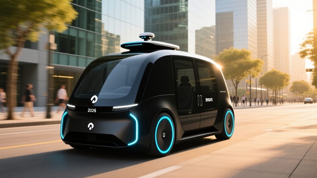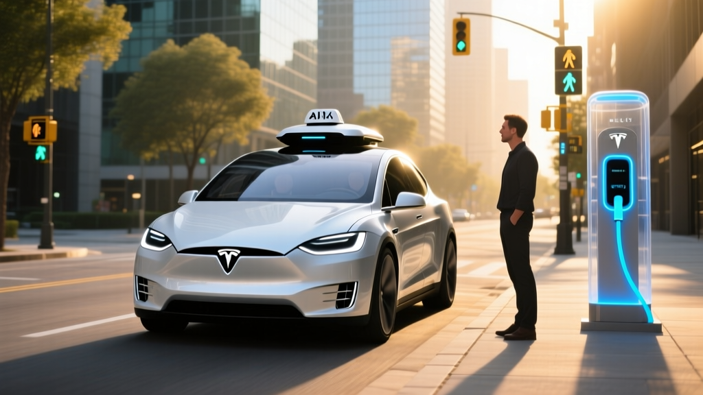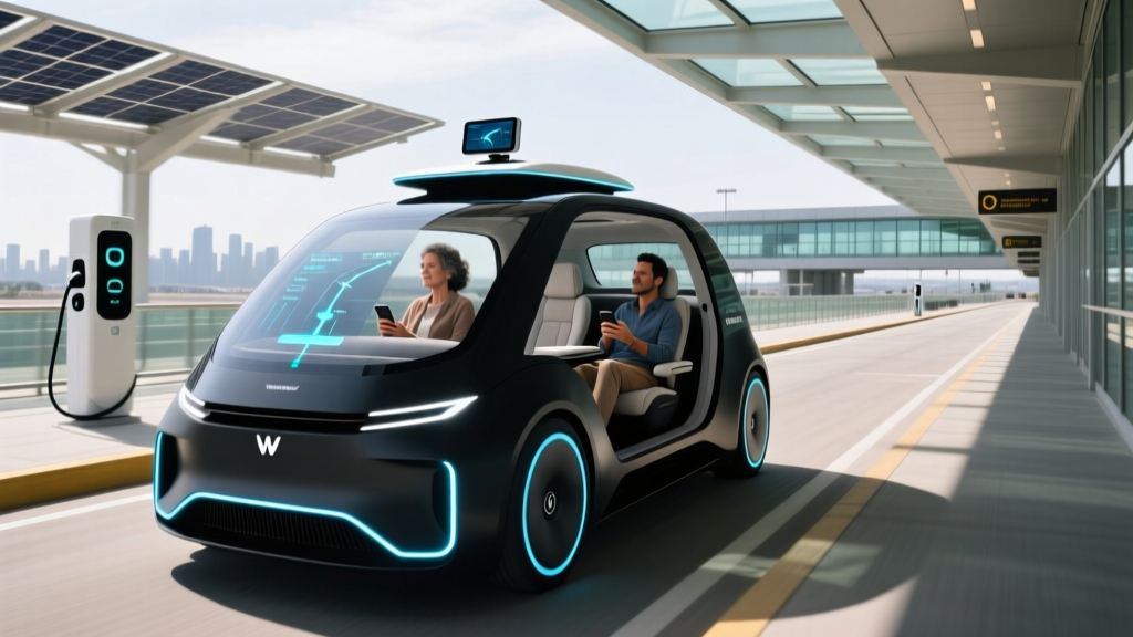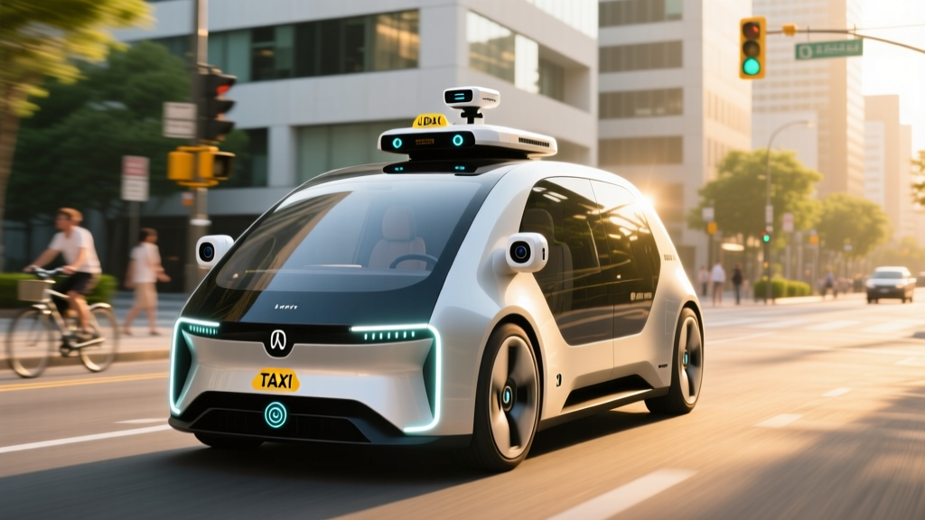
Step into a Waymo robotaxi in Phoenix or a Cruise vehicle in San Francisco, and you'll notice the absence of a steering wheel operator — but not the absence of hardware. The roof pod and bumper-mounted housings conceal a dense array of autonomous vehicle sensors that collectively perceive the world in 360 degrees, hundreds of times per second. Understanding what these sensors are, how they differ across operators, and what they can and cannot do is essential for anyone evaluating the real state of driverless transportation today.
This guide breaks down the sensor architectures powering commercial robotaxi fleets in 2026, the SAE automation levels that define what "self-driving" actually means, where you can hail a ride, what it costs, and what the safety data says.
SAE Automation Levels: Where Robotaxis Actually Sit
Before examining sensors, it's critical to establish what level of autonomy commercial robotaxis operate at. Consumer confusion between driver-assist features and true driverless operation remains the single biggest misunderstanding in this space.
| SAE Level | Name | Who Drives? | Example |
|---|---|---|---|
| Level 0 | No Automation | Human | Standard car, no assist |
| Level 1 | Driver Assistance | Human (one feature assisted) | Adaptive cruise control |
| Level 2 | Partial Automation | Human (must supervise) | Tesla Autopilot, GM Super Cruise, Ford BlueCruise |
| Level 3 | Conditional Automation | System (human on standby) | Mercedes DRIVE PILOT (limited conditions) |
| Level 4 | High Automation | System (no human needed in geofence) | Waymo One, Zoox, Cruise driverless |
| Level 5 | Full Automation | System (everywhere, all conditions) | Does not exist commercially |
Commercial robotaxi services like Waymo One operate at SAE Level 4 — the vehicle handles all driving tasks without a human behind the wheel, but only within a defined operational design domain (ODD): specific cities, mapped routes, and acceptable weather conditions. Level 5 — a vehicle that can drive anywhere a human can, in any condition — remains theoretical and is not available from any manufacturer or operator.
Consumer vehicles with Tesla FSD (Supervised), GM Super Cruise, or Ford BlueCruise are Level 2. The driver must remain attentive and is legally responsible for the vehicle at all times. This distinction matters enormously for safety expectations and liability.
Autonomous Vehicle Sensor Types: The Perception Stack
A robotaxi's ability to navigate complex urban environments depends on layered sensor fusion — combining inputs from multiple sensor modalities so that weaknesses in one are compensated by strengths in another. Here are the core autonomous vehicle sensors used in production robotaxi fleets.
LiDAR (Light Detection and Ranging)
LiDAR fires millions of laser pulses per second and measures their return time to build a precise, real-time 3D point cloud of the surrounding environment. Modern automotive LiDAR units — such as those from Waymo's in-house Honeycomb system or Hesai and Innoviz units used by other operators — achieve detection ranges of 200–300+ meters with angular resolution fine enough to distinguish a pedestrian from a signpost at distance.
Strengths: Centimeter-accurate depth perception regardless of ambient light. Works in darkness, direct sunlight, and shadow transitions that confuse cameras.
Limitations: Performance degrades in heavy rain, snow, and dense fog as laser pulses scatter off precipitation particles. Units remain expensive (thousands per sensor) and mechanically complex, though solid-state designs are reducing cost and size.
Cameras (Visible Spectrum)
High-resolution cameras provide color, texture, and semantic information that LiDAR cannot: reading traffic light states, parsing road signs, detecting brake lights, and identifying lane markings. Robotaxis typically carry 8–16 cameras covering 360 degrees, with a mix of narrow telephoto lenses (for long-range detection) and wide-angle lenses (for near-field awareness).
Strengths: Rich semantic data, low cost per unit, compact form factor.
Limitations: Struggle with depth estimation (stereo setups help but don't match LiDAR precision). Performance degrades in low light, glare, heavy rain on the lens, and direct sun at certain angles.
Radar (Radio Detection and Ranging)
Millimeter-wave radar (typically 77 GHz) measures the velocity and distance of objects using reflected radio waves. It excels at detecting moving objects and their speed via the Doppler effect, even through fog, light rain, and dust that would blind LiDAR and cameras.
Strengths: Robust in adverse weather. Excellent velocity measurement. Low cost.
Limitations: Low spatial resolution — can detect "something" at range but struggles to classify what it is. Reflective surfaces (guardrails, manhole covers) can generate false positives.
Ultrasonic Sensors
Short-range ultrasonic transducers (typically 40–48 kHz) handle near-field detection within 2–5 meters, critical for low-speed maneuvers like parking, curb detection, and close-proximity obstacle avoidance.
IMU, GPS, and HD Maps
Inertial measurement units (IMUs) track vehicle acceleration and rotation hundreds of times per second. High-precision GPS (RTK-corrected to ~2 cm accuracy) provides absolute position. These are fused with pre-built high-definition maps that encode lane geometry, traffic signal locations, speed limits, and curb positions — giving the vehicle a prior understanding of the road before its sensors even perceive it.
Sensor Architecture Comparison: Major Robotaxi Operators
| Operator | LiDAR | Cameras | Radar | Ultrasonic | HD Maps | SAE Level |
|---|---|---|---|---|---|---|
| Waymo (6th-gen) | 5+ units (in-house) | 29 cameras | 6 radar units | Yes | Yes | Level 4 |
| Zoox | Multiple solid-state | Multi-spectrum array | Yes | Yes | Yes | Level 4 |
| Cruise (post-relaunch) | Multiple units | 16+ cameras | Yes | Yes | Yes | Level 4 |
| Tesla (FSD Supervised) | None (camera-only) | 8 cameras | None (removed) | None | No (vision-based) | Level 2 |
Note: Tesla's camera-only approach is used in consumer vehicles with a human driver responsible. No camera-only system currently operates a commercial driverless robotaxi service.
Where Can You Ride a Robotaxi Right Now?
As of early 2026, fully driverless commercial robotaxi services (SAE Level 4, no human in the driver's seat) operate in a limited but growing number of U.S. metro areas. Availability is tightly geofenced — you can only request rides within mapped service zones, not anywhere in a city.
| Operator | Live Driverless Cities | Service Hours | Notes |
|---|---|---|---|
| Waymo One | Phoenix (metro), San Francisco, Los Angeles, Austin (expanding) | 24/7 in Phoenix & SF | Largest U.S. fleet; 100,000+ paid trips/week as of late 2025 |
| Zoox | Las Vegas (Strip corridor), Foster City, CA (limited) | Limited hours | Purpose-built bidirectional vehicle; no steering wheel |
| Cruise | Phoenix, Houston, Dallas (phased relaunch post-2024 suspension) | Limited hours initially | Gradual ramp-up with safety driver before driverless |
Service areas expand periodically. Check each operator's app for current geofence boundaries. Announced future cities are not listed above until rides are bookable by the public.
Where can I use this robotaxi service right now? Your best bet in 2026 is Waymo One if you're in Phoenix, San Francisco, Los Angeles, or Austin. Download the Waymo app, enter your destination, and the app will confirm whether both pickup and dropoff are within the service zone. Zoox operates a smaller service in Las Vegas. Cruise is in a cautious relaunch phase after its late-2023 safety incidents.
Robotaxi Pricing vs. Uber and Lyft
Robotaxi pricing is designed to be competitive with traditional rideshare, though it varies by city, time of day, and trip distance. Here's how typical fares compare based on available data and user reports.
| Service | Base Fare | Per-Mile Rate | Per-Minute Rate | Typical 5-Mile Trip |
|---|---|---|---|---|
| Waymo One | ~$3.00 | ~$1.25–$1.50 | ~$0.35–$0.50 | $10–$15 |
| UberX (national avg.) | ~$2.50 | ~$1.30–$1.75 | ~$0.30–$0.45 | $10–$17 |
| Lyft (national avg.) | ~$2.50 | ~$1.25–$1.65 | ~$0.30–$0.45 | $10–$16 |
Pricing fluctuates with demand (surge pricing applies to Uber/Lyft; Waymo has used promotional pricing to build ridership). Waymo frequently offers introductory discounts for new riders. Tipping is not expected in a driverless vehicle — a cost advantage for riders.
How much does it cost vs Uber/Lyft? Roughly comparable for standard trips, sometimes slightly cheaper due to no tip expectation and promotional pricing. During Uber/Lyft surge periods, Waymo's fixed pricing can be significantly less expensive. The long-term economics of robotaxi operations remain unproven at scale — operators are currently subsidized by parent-company investment.
Safety Data: What the Numbers Actually Show
Safety is the most scrutinized — and most contested — dimension of robotaxi operations. Both operators and regulators publish data, but context matters enormously.
Key Safety Data Points
- Waymo: Over 30 million fully driverless miles completed as of early 2026. In a NHTSA-reviewed analysis, Waymo reported a contact rate (police-reportable crashes per million miles) approximately 57% lower than human benchmarks in comparable urban environments for injury-causing crashes. Source: Waymo Safety Report.
- Cruise (pre-suspension, 2023): Operated ~1.7 million driverless miles before a serious incident in San Francisco (October 2023) where a pedestrian was dragged under the vehicle after being struck by a human driver. The incident and Cruise's delayed disclosure to regulators led to a California DMV permit suspension and a nationwide operational pause. Cruise has since relaunched with phased safety-driver operations.
- Intervention rates: California DMV disengagement reports (which measure how often a safety driver must take control) showed Waymo averaging approximately one disengagement per 10,000–15,000 miles in recent reporting periods. However, disengagement metrics are imperfect — they depend heavily on how conservative the operator's threshold for intervention is.
Safety comparisons between robotaxis and human drivers require careful normalization. Urban robotaxi miles (low-speed, mapped, geofenced) are not directly comparable to all human driving miles (highway, rural, impaired). The IIHS and academic researchers continue to develop better frameworks.
How safe are robotaxis? The available data suggests that established operators like Waymo perform at least as well as, and likely better than, average human drivers in their specific operating conditions. However, the sample size — tens of millions of miles versus trillions of human-driven miles — means that rare edge-case failures carry outsized significance. The Cruise incident demonstrates that a single serious event can halt an entire fleet. Robotaxis are not risk-free; they are a different risk profile, concentrated in urban environments with vulnerable road users.
Current Limitations: What Robotaxis Cannot Do
Despite impressive capabilities within their operating domains, Level 4 robotaxis face hard limitations that define where and when they can operate. These are not temporary bugs — they are fundamental constraints of the current technology generation.
- Weather: Heavy rain, snow, and dense fog degrade LiDAR and camera performance. Waymo has improved its rain-handling capabilities in Phoenix and SF, but operations may be suspended during severe weather events. No robotaxi operates in snow-belt cities.
- Geofencing: Service is restricted to pre-mapped zones. If your destination falls outside the boundary, the ride cannot be completed. Construction zones that alter road layouts can confuse the HD map priors and require remote assistance or cautious low-speed traversal.
- Complex unprompted scenarios: Unmarked detours, hand-signal directions from police or construction workers, off-road routing, and unmapped private roads remain challenging or impossible.
- Passenger emergencies: Without a driver, medical emergencies or security incidents inside the cabin rely on in-vehicle intercoms and remote support agents — response times are longer than with a human driver present.
- Pickup/dropoff precision: Robotaxis may stop across the street or a block away if the exact address is on a restricted road (highway on-ramp, bus lane, private driveway). Riders must sometimes walk to the vehicle.
- No intercity/highway-only service: Current robotaxi services are urban/suburban. You cannot hail a robotaxi for a 200-mile highway trip between cities.
What are the current limitations? Weather (no snow/ice operations), geofencing (mapped zones only), edge cases (unmarked construction, hand signals), and the inability to handle scenarios outside the operational design domain. These limitations are why Level 4 is geographically bounded and Level 5 — drive anywhere, anytime — does not yet exist.
The Regulatory Landscape: Who Approves Robotaxi Operations
Robotaxi deployment in the United States involves a patchwork of federal, state, and local oversight — and the framework is still evolving.
- Federal (NHTSA): The National Highway Traffic Safety Administration sets vehicle safety standards (FMVSS) and investigates crashes. NHTSA has granted limited exemptions to companies like Zoox for vehicles without steering wheels or mirrors. Federal law does not currently prohibit driverless operation, but NHTSA can issue recalls or investigate safety defects.
- State level: States control deployment permits. California's DMV and CPUC issue testing and commercial deployment permits — and can suspend them, as happened with Cruise in October 2023. Arizona has taken a permissive approach, allowing Waymo to operate with minimal state oversight. Texas (Austin, Houston) has established its own permitting framework.
- Local/municipal: Cities often negotiate operating agreements covering pickup zones, fleet size caps, accessibility requirements, and data sharing. San Francisco's Board of Supervisors has held contentious public hearings on robotaxi expansion.
The absence of a unified federal framework for autonomous vehicle deployment means that operators must navigate 50 different state regulatory environments — a significant barrier to rapid national scaling.
Frequently Asked Questions
Is this truly self-driving or driver-assist?
Commercial robotaxi services from Waymo, Zoox, and Cruise (in driverless mode) are SAE Level 4 — genuinely self-driving within their geofenced operating areas, with no human driver in the vehicle. This is fundamentally different from Level 2 driver-assist systems like Tesla FSD (Supervised), GM Super Cruise, or Ford BlueCruise, which require an attentive human driver at all times. If there's a steering wheel and a person in the driver's seat who could be asked to take over, it is not a robotaxi.
Why do robotaxis use LiDAR when Tesla says cameras are enough?
Tesla's camera-only approach for FSD (Supervised) operates at Level 2 with a human driver responsible as a safety backup. Every commercial Level 4 driverless robotaxi fleet uses LiDAR because the redundant depth perception it provides is considered essential when no human is available to intervene. The engineering consensus among robotaxi operators is that camera-only perception has not been demonstrated to be safe enough for unsupervised Level 4 operation. This could change, but as of 2026, no camera-only driverless service exists.
What happens if a robotaxi gets into an accident?
The vehicle is designed to pull over safely, contact emergency services if needed, and connect to a remote support agent. The operator carries commercial insurance. Liability frameworks are still developing — in a driverless vehicle, the operator (not a "driver") bears responsibility. Cruise's 2023 incident in San Francisco showed that how an operator responds to and reports incidents is as critical as the incident itself, leading to regulatory suspension when disclosure was deemed inadequate.
Can I use a robotaxi in bad weather?
Light rain is generally handled by current-generation systems. Heavy rain, snow, ice, and dense fog may trigger service suspension. No robotaxi service currently operates in cities with regular snowfall. If conditions degrade mid-ride, the vehicle will pull over safely and the trip may be terminated early.
How do robotaxis handle construction zones and detours?
Pre-mapped HD maps are updated regularly, but sudden or unmarked construction can force the vehicle to slow significantly, request remote guidance, or reroute. Hand-signal directions from flaggers or police remain a significant edge case. Expect occasional longer travel times or the vehicle stopping to wait for conditions to clear.
The autonomous vehicle sensors powering today's robotaxi fleets represent the most sophisticated perception systems ever deployed on public roads — but they operate within defined limits. The technology delivers genuine driverless transportation in specific cities under specific conditions. Understanding those conditions, the sensor hardware that makes them possible, and the safety record that supports them is the foundation for any informed decision about riding in — or investing in — autonomous vehicles.